
REMOTE - CURVES
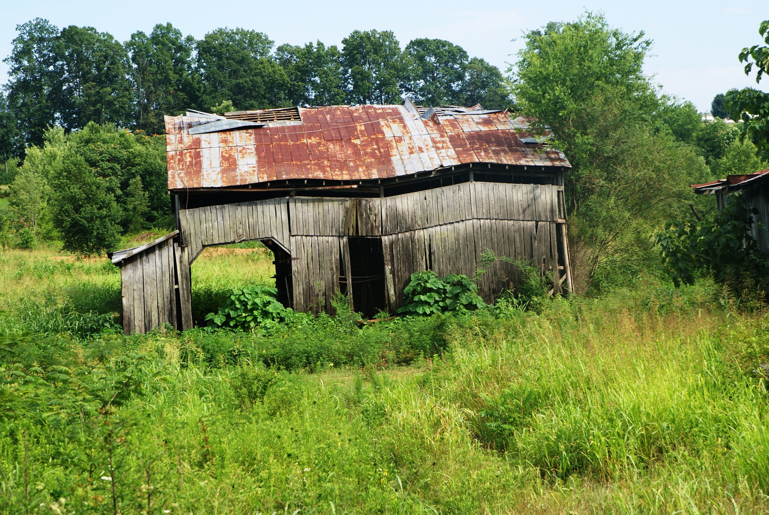
This scenic loop will primarily be on country roads and two-lane state highways. There will be no mountains to traverse, but there are sections of very curvy, narrow country roads and state highways that will keep you alert. You will also parallel two very scenic rivers and a lake for part of the time. There are several refueling or rest stop places along the route.
LOOP TYPE: Country backroads & state highways
DURATION: 4 hours / 121 miles
ZONE: Northeast (see route aerial view)
CALHOUN LOOP
Download a description, directions, and maps.
Download a 11x17 topographical map.
Access turn-by-turn and voice guided GPS app.
General route guidance tools and tips.
Access routes via the app.
Already a member?
If you already downloaded the app and submitted your membership request, access routes under Clubs then Scenic City Backroads.
Not a member yet?
Login to the app and look for Scenic City Backroads under Clubs. If you don’t see it, you are not a member yet.


