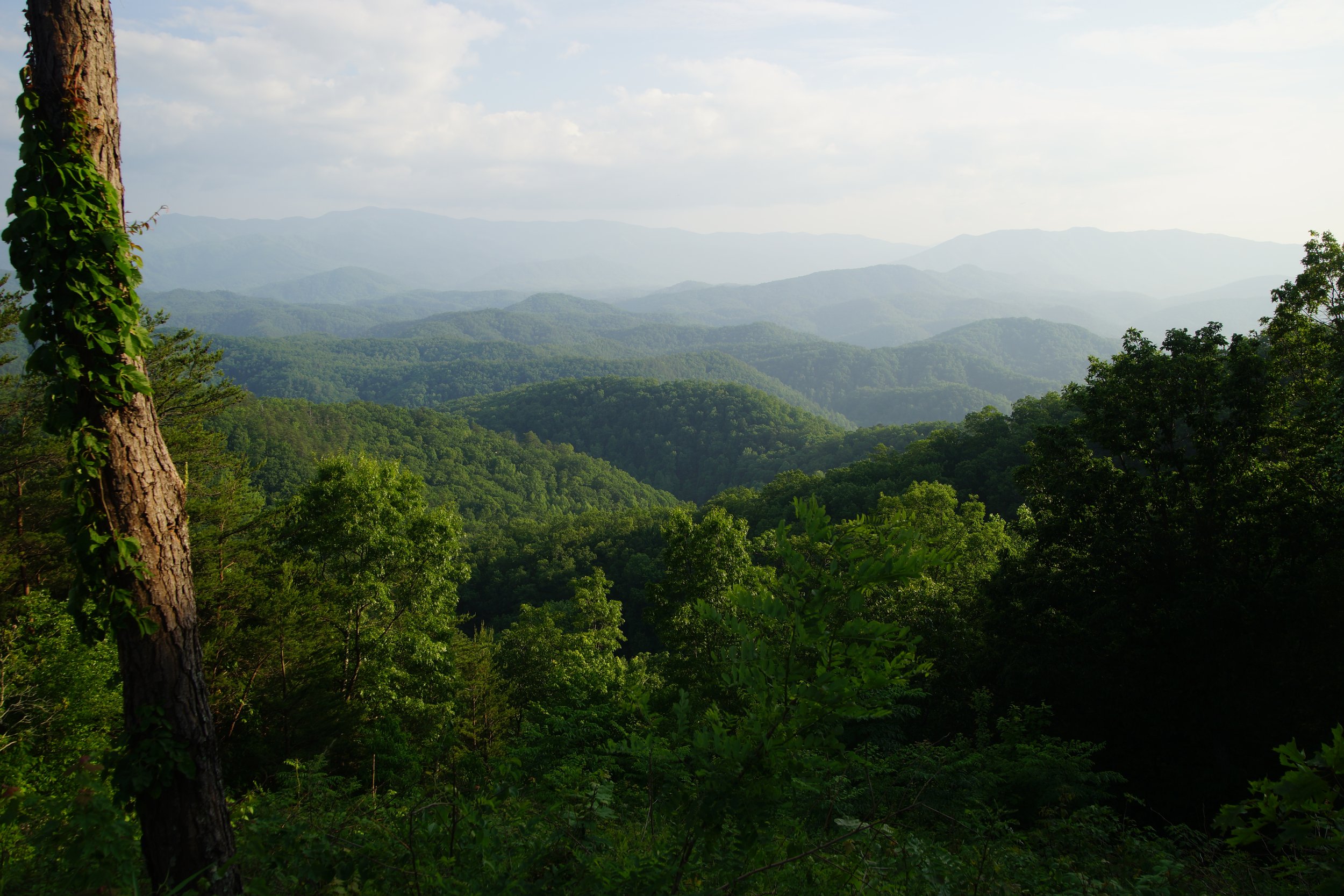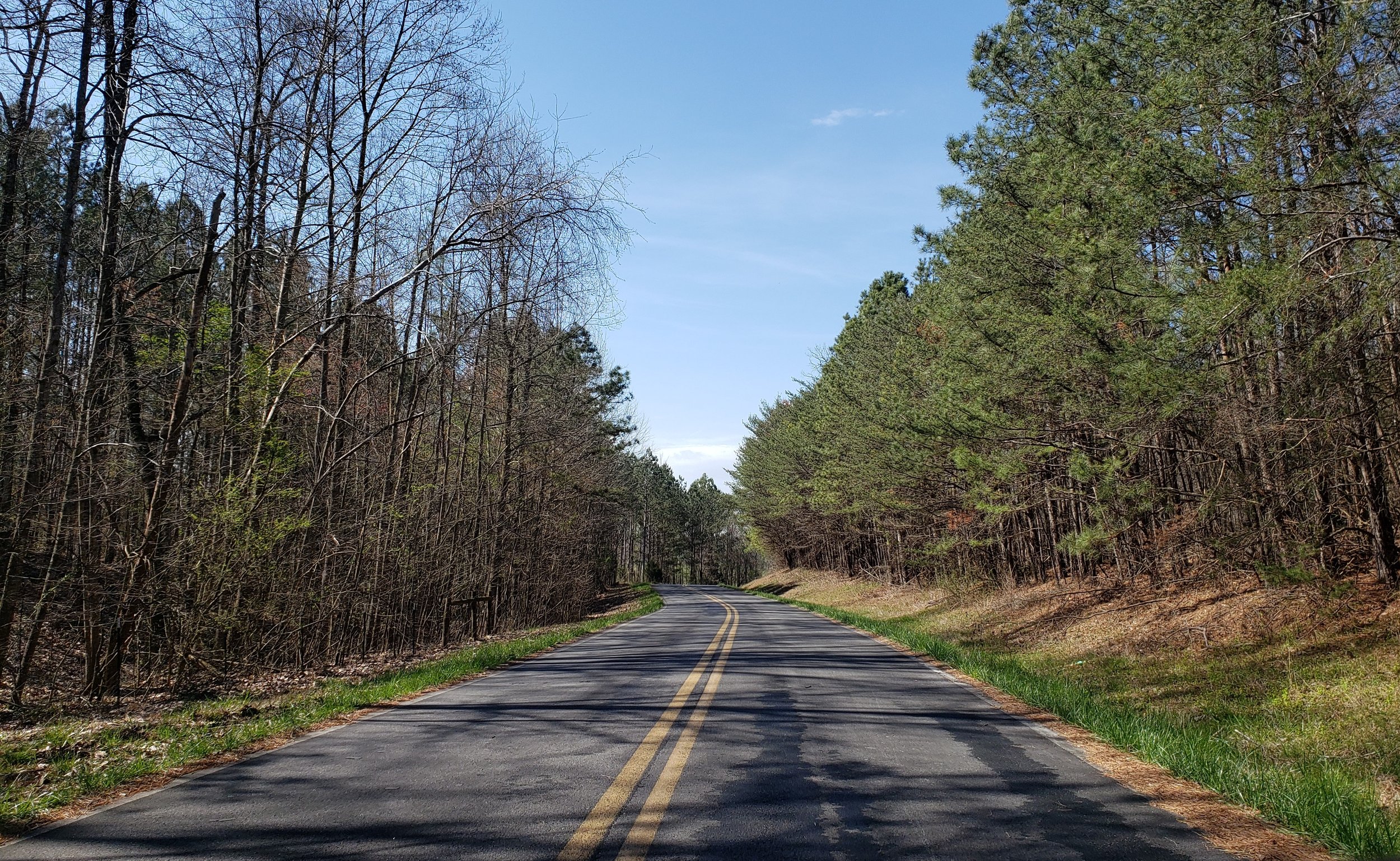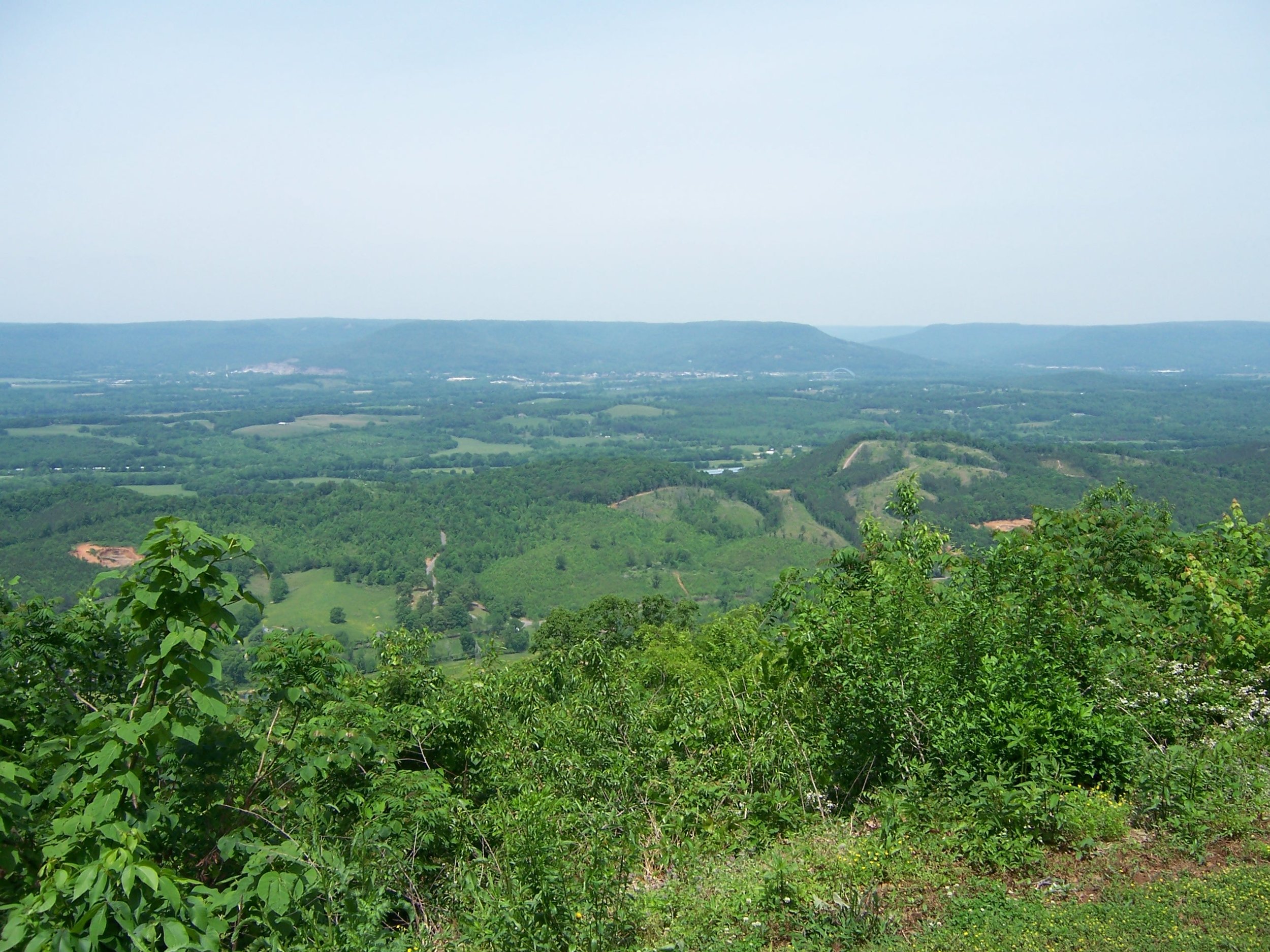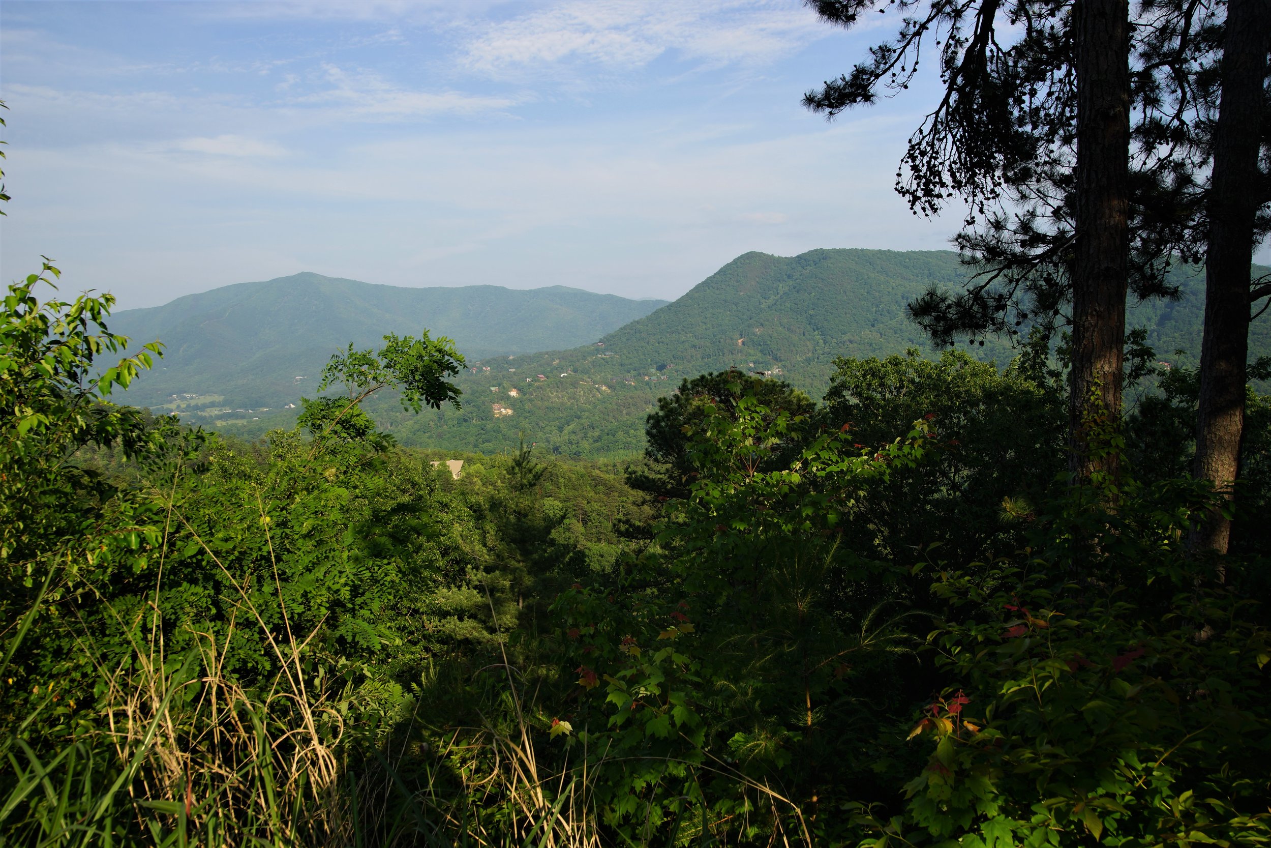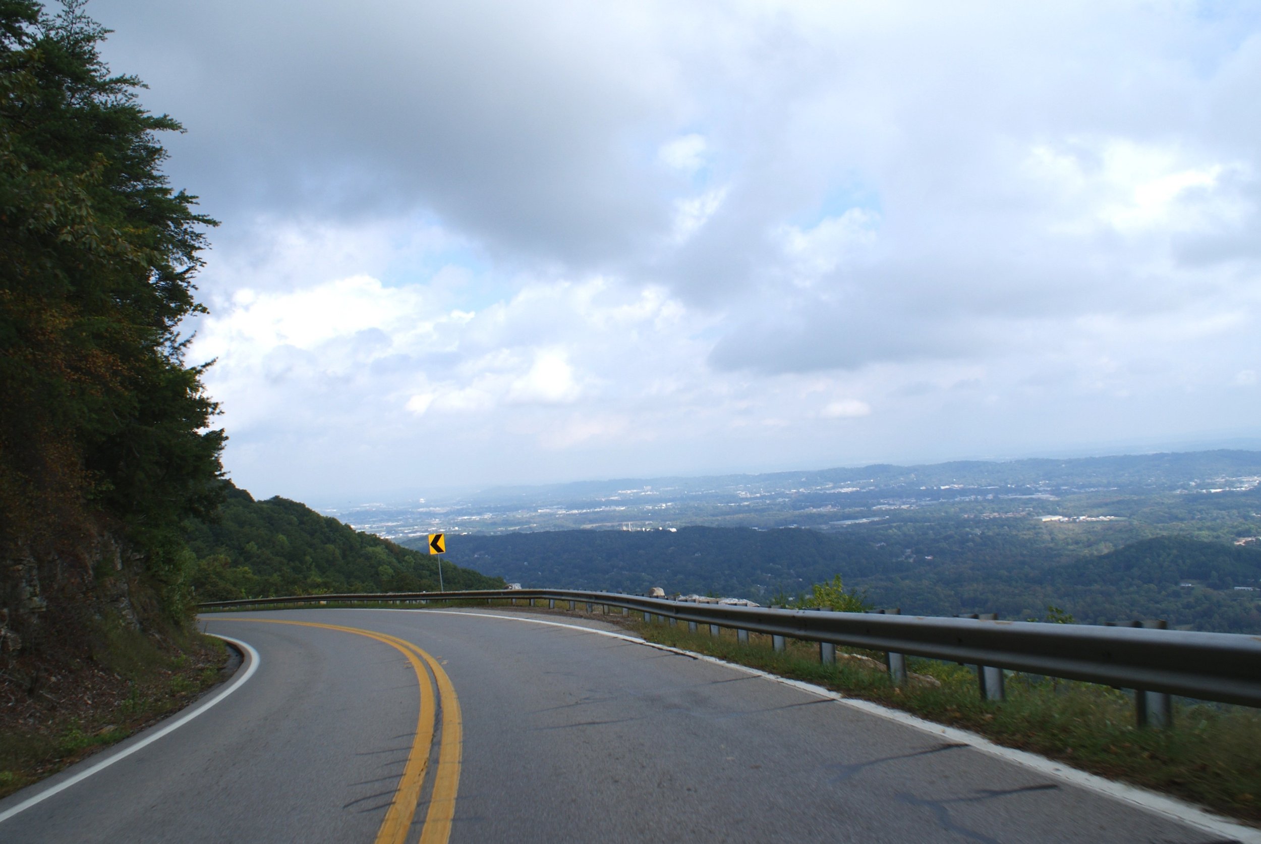
MOUNTAINS - CURVES
This loop is the longest in the Scenic City Backroads and will take you over four different mountains, providing you with views of the valleys below. You will encounter some switchback sections - which may be new to you - as you descend a couple of the mountains. There will be a lot of driving on two-lane, somewhat remote highways on top of the mountains and in one section adjacent to Nickajack Lake.
LOOP TYPE: Two-lane state highways and some switchbacks
DURATION: 6 hours / 234miles
ZONE: Northwest (see route aerial view)
FOUR MOUNTAINS LOOP
Download a description, directions, and maps.
Download a 11x17 topographical map.
Access turn-by-turn and voice guided GPS app.
General route guidance tools and tips.
Access routes via the app.
Already a member?
If you already downloaded the app and submitted your membership request, access routes under Clubs then Scenic City Backroads.
Not a member yet?
Login to the app and look for Scenic City Backroads under Clubs. If you don’t see it, you are not a member yet.