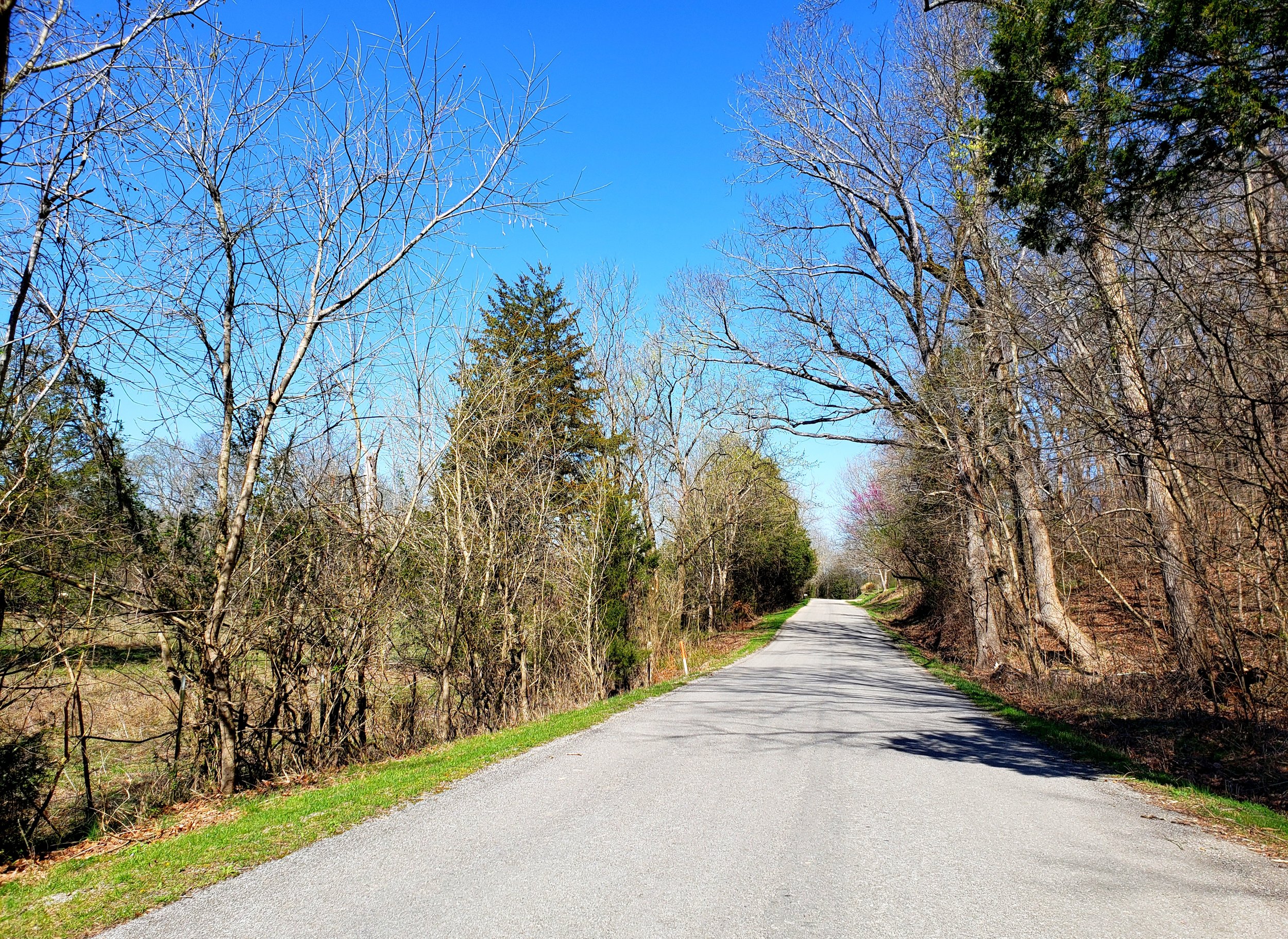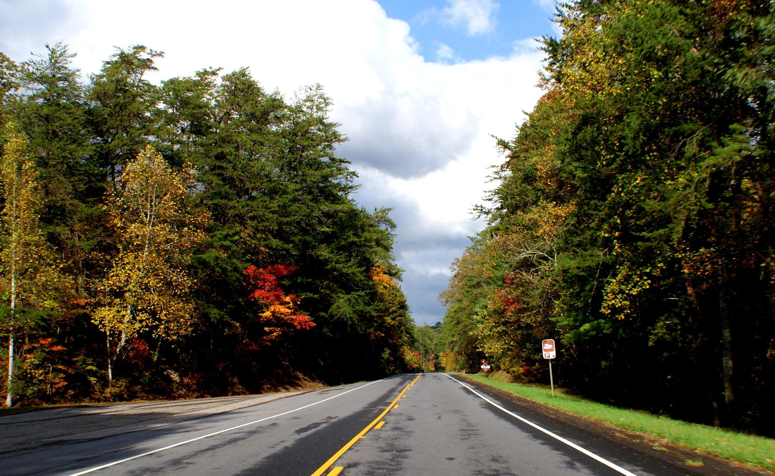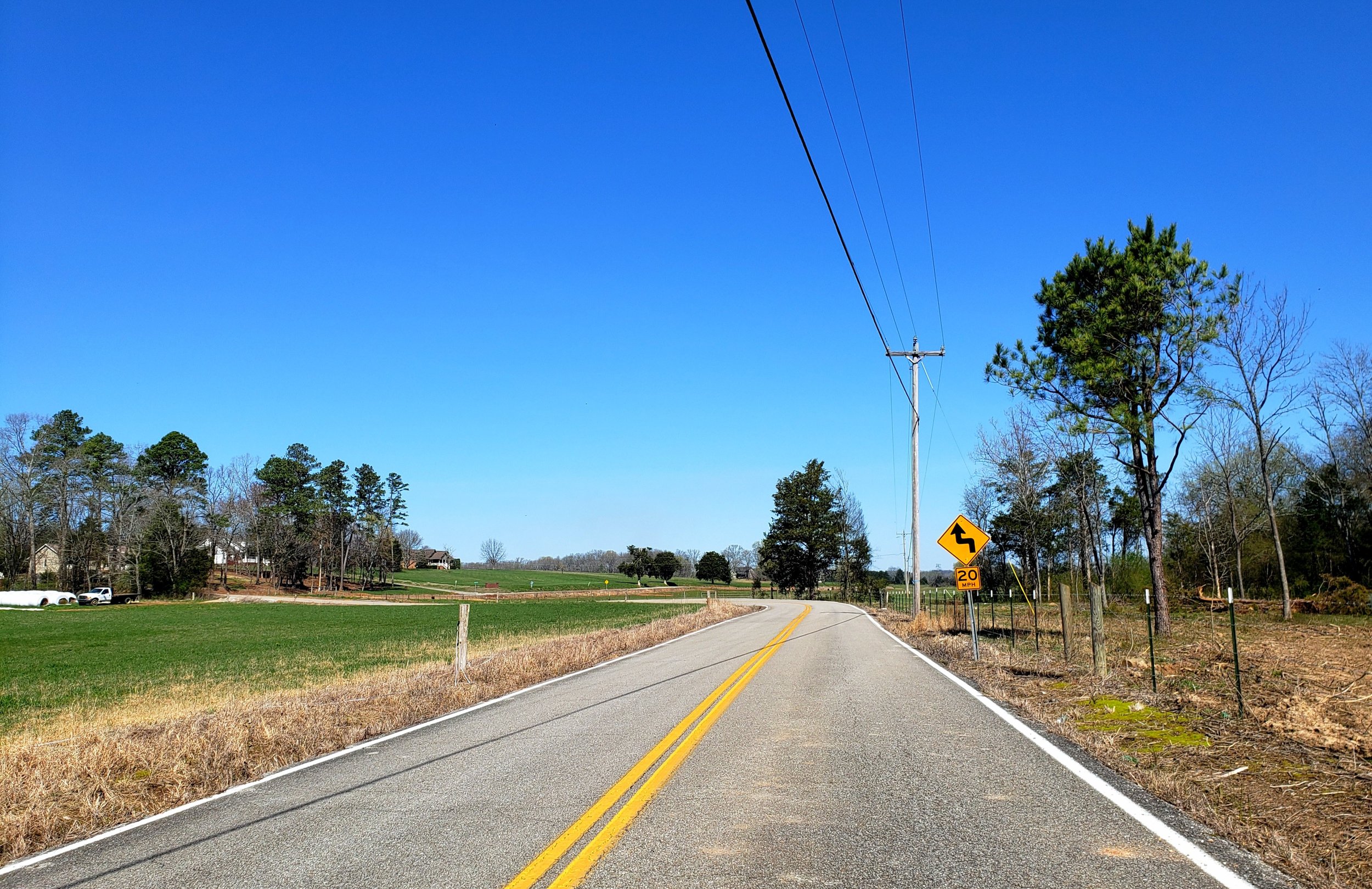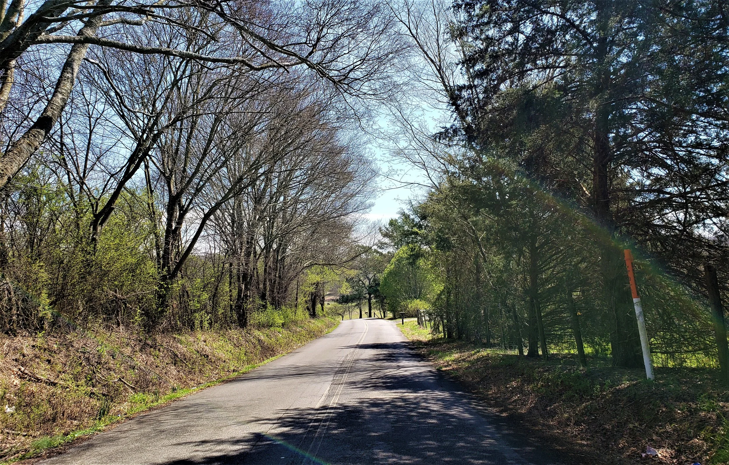
REMOTE - CURVES
This loop probably has more two-lane roads in the countryside than any of the other loops, but here are no mountains to cross. It is a fairly long ride but is super relaxing and one that I would recommend if you are looking to get out and see the country. Allow more than half a day for this excursion.
LOOP TYPE: Country roads mixed with some curvy forest highways
DURATION: 5.75 hours / 186 miles
ZONE: Northeast (see aerial route view)
SWEETWATER LOOP
Download a description, directions, and maps.
Download a 11x17 topographical map.
Access turn-by-turn and voice guided GPS app.
General route guidance tools and tips.
Access routes via the app.
Already a member?
If you already downloaded the app and submitted your membership request, access routes under Clubs then Scenic City Backroads.
Not a member yet?
Login to the app and look for Scenic City Backroads under Clubs. If you don’t see it, you are not a member yet.