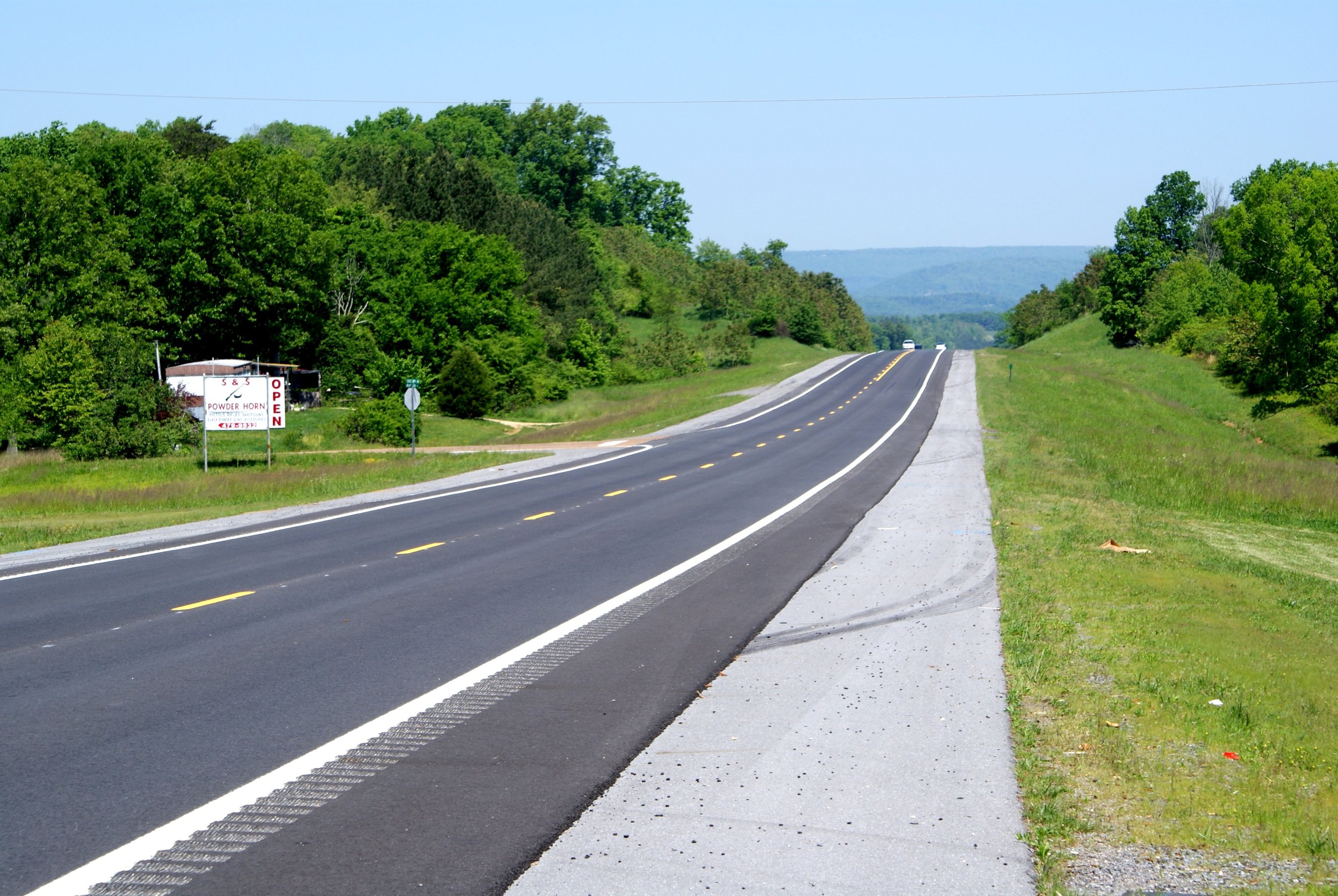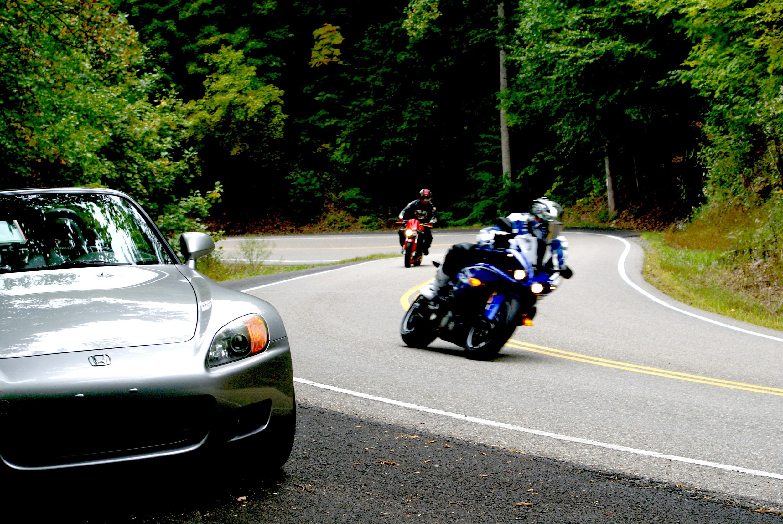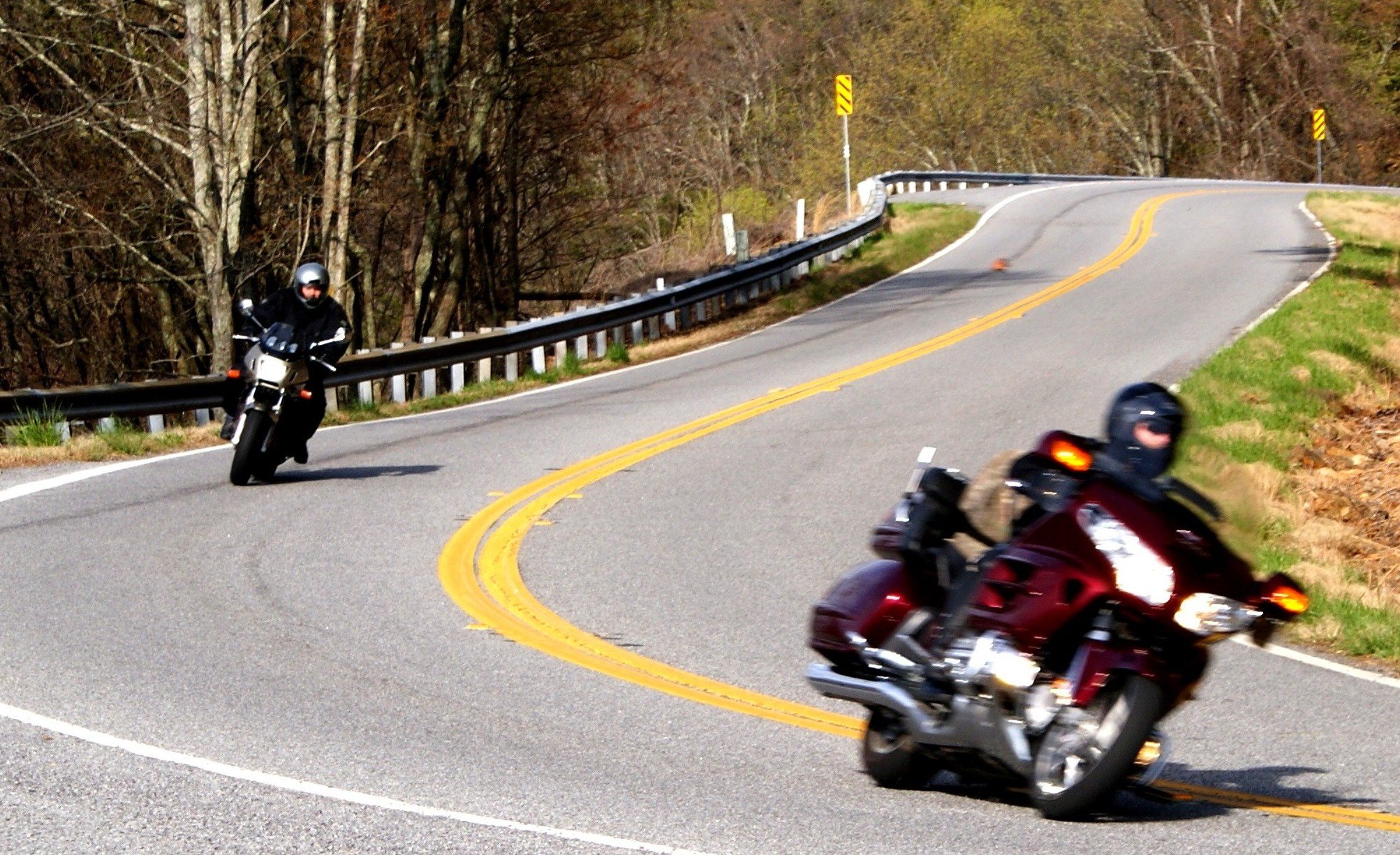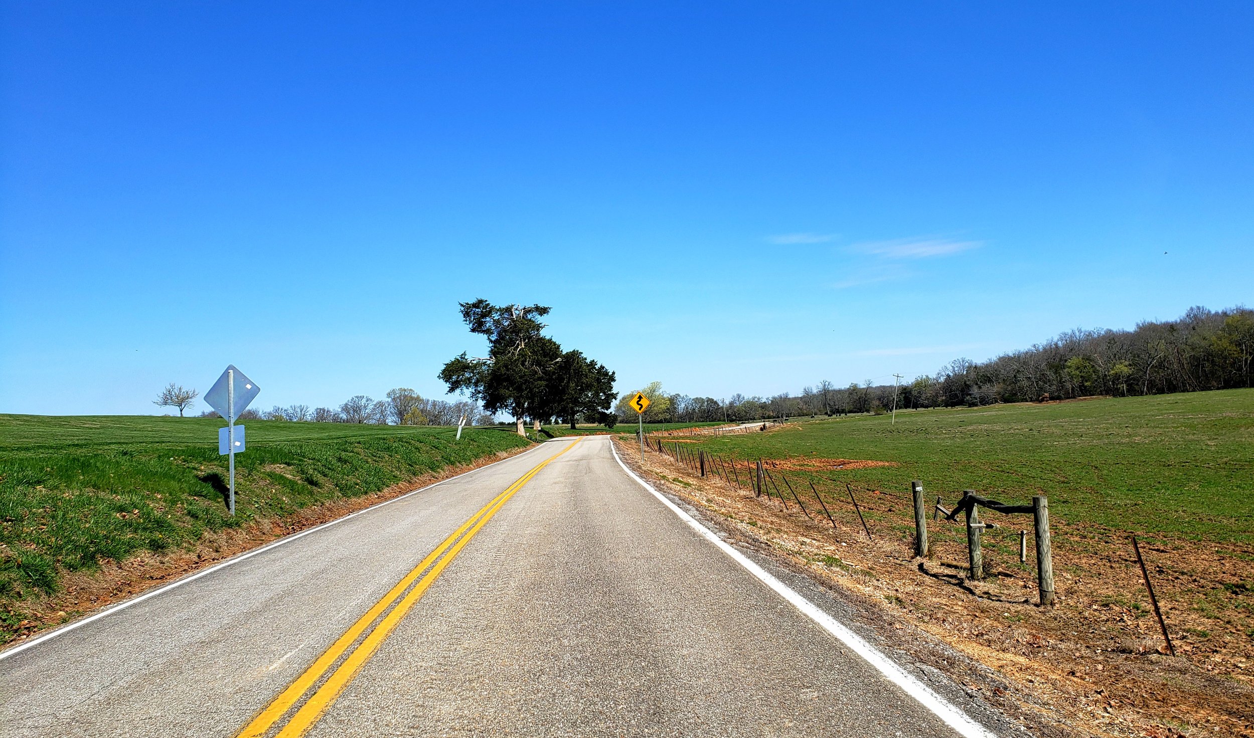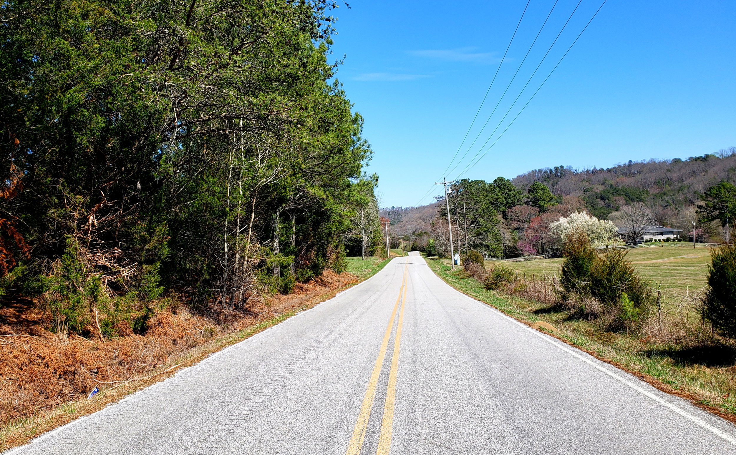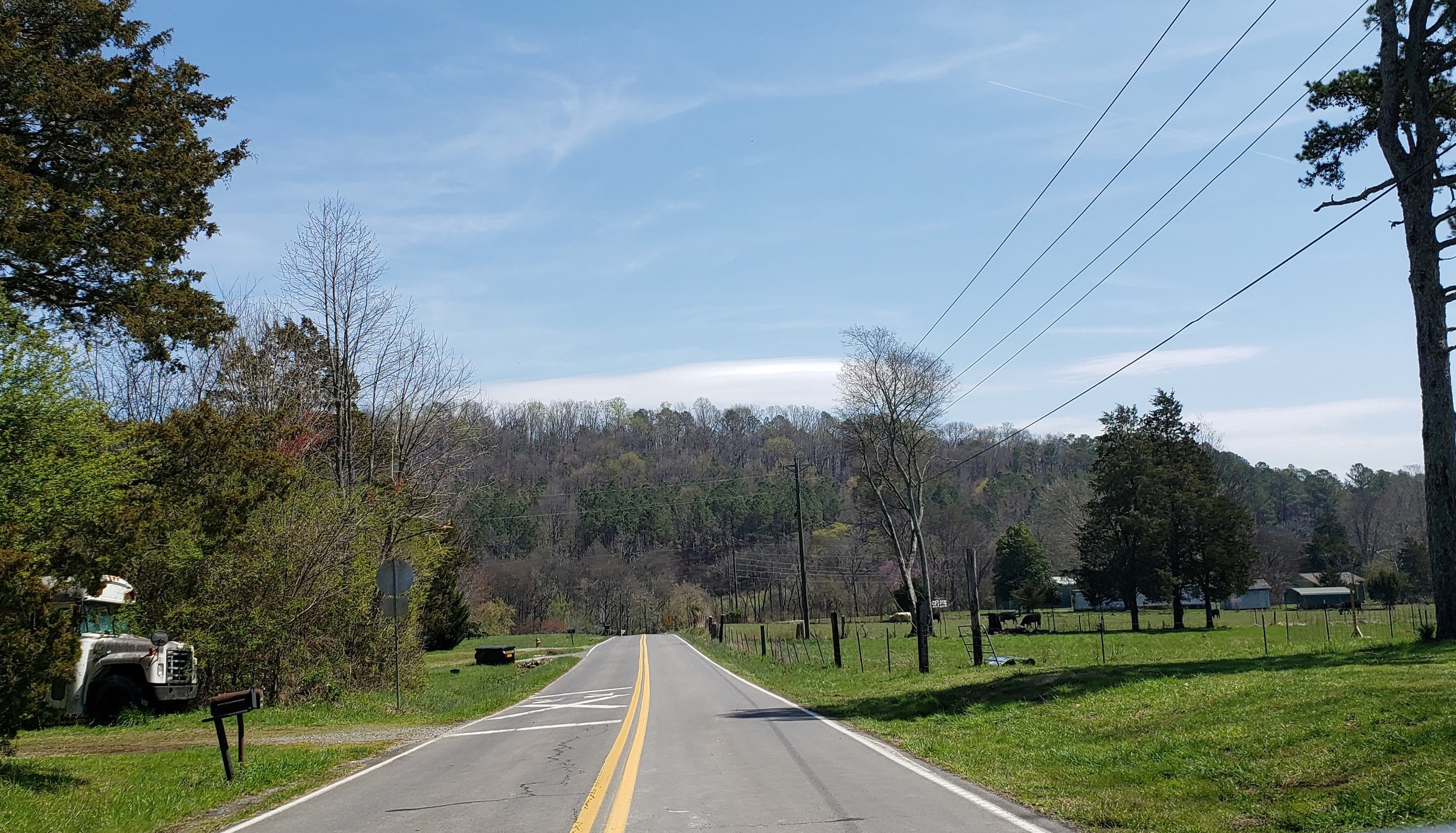
CURVES
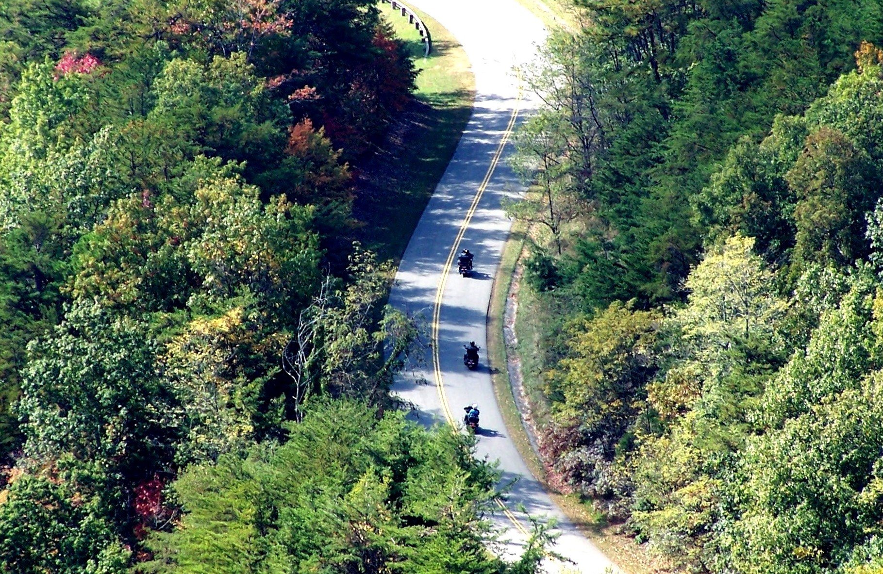
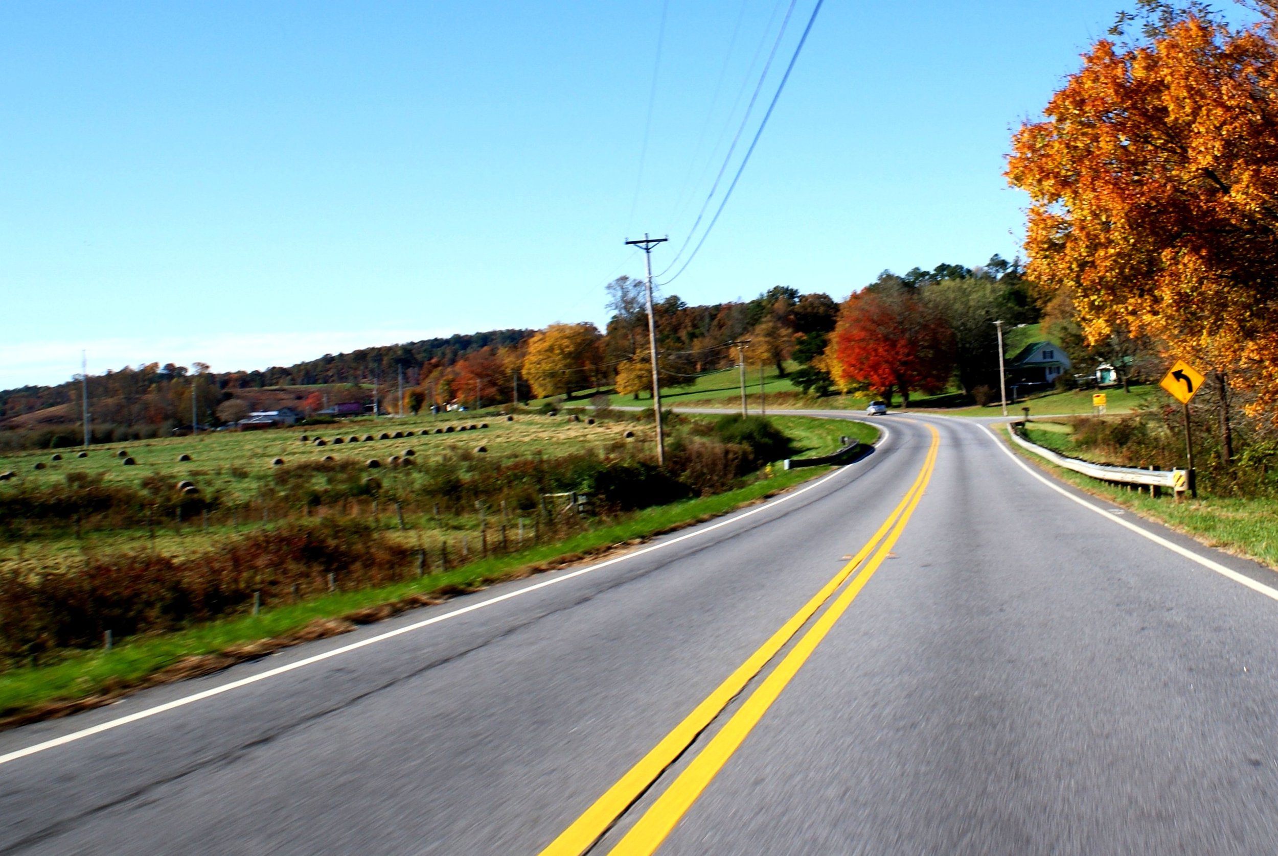
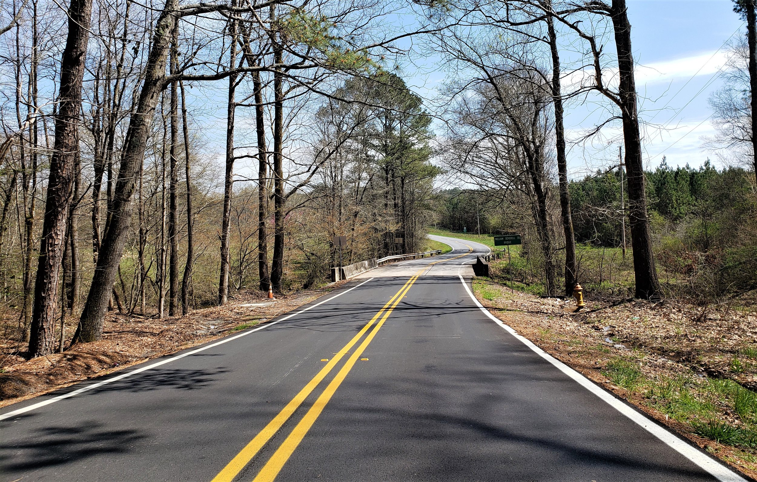
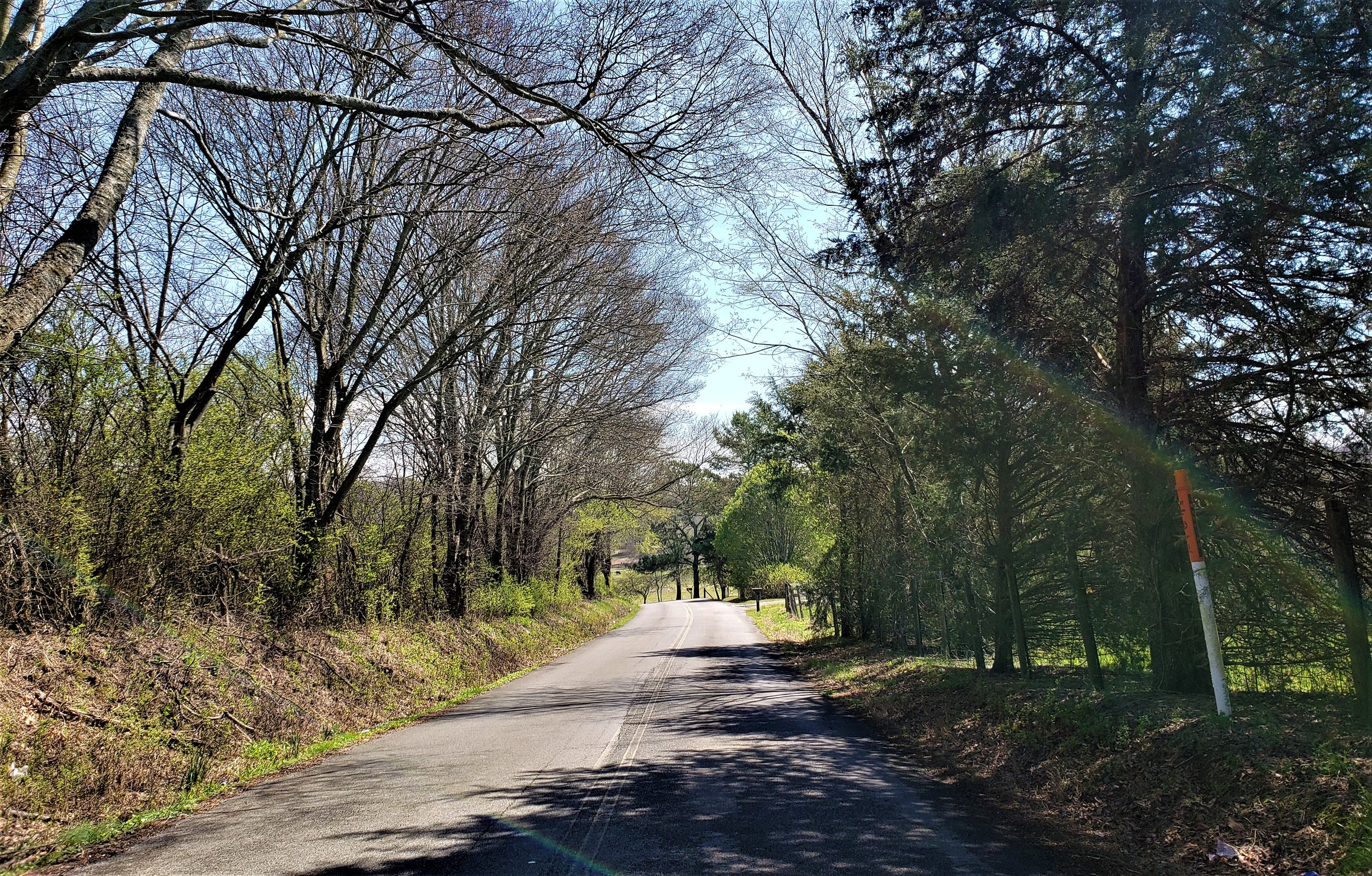
This route will take you along some very curvy two-lane state highways, so if you don’t enjoy riding curves, another route might be better.
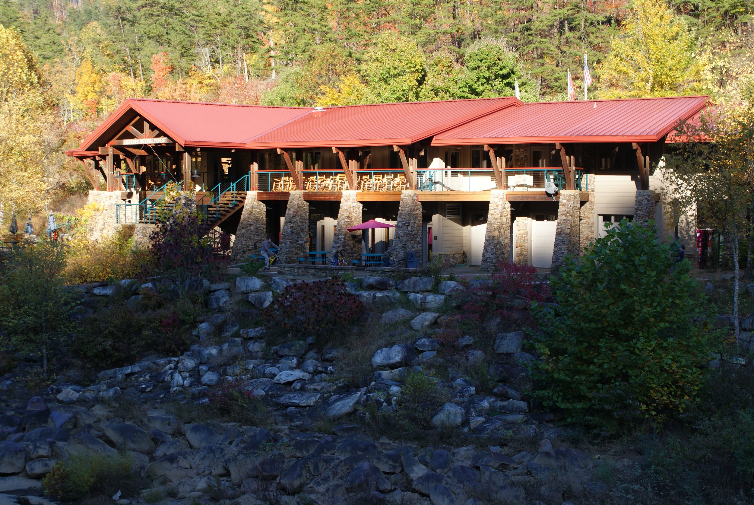
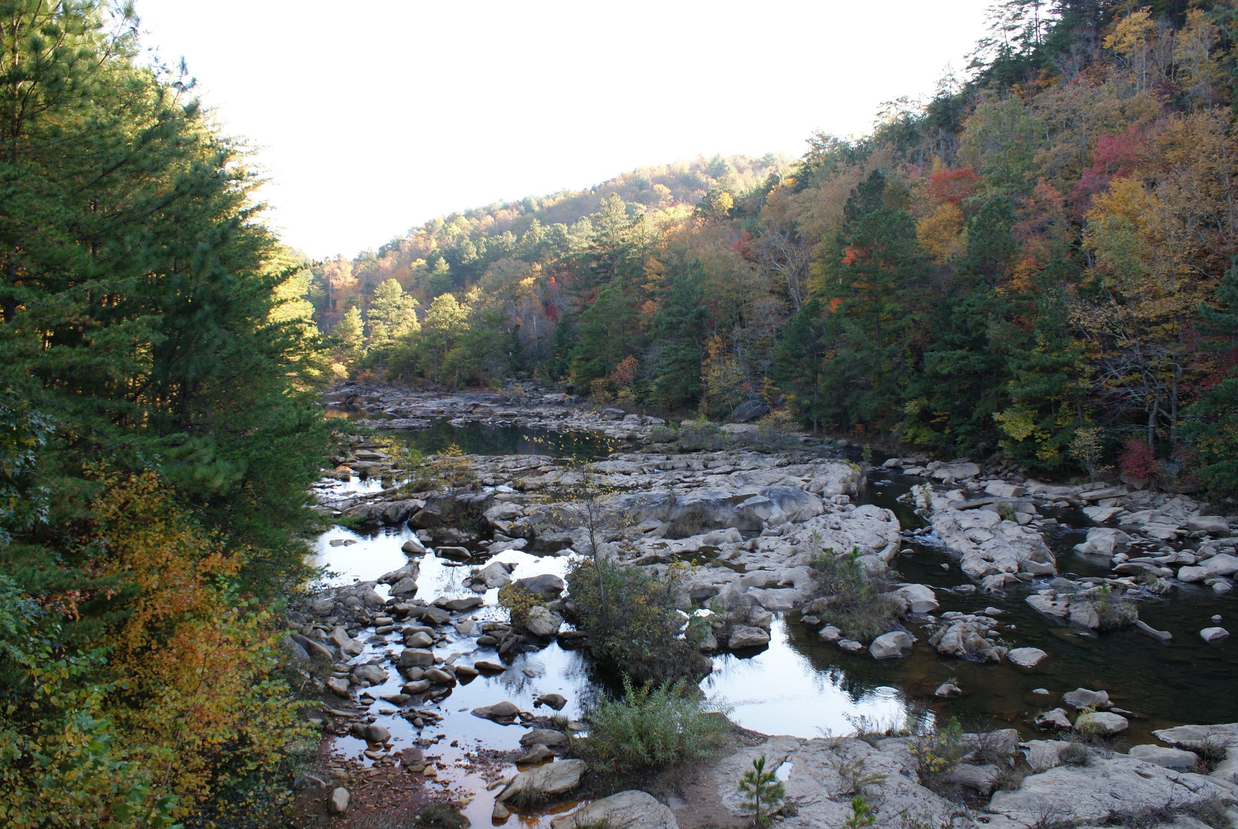
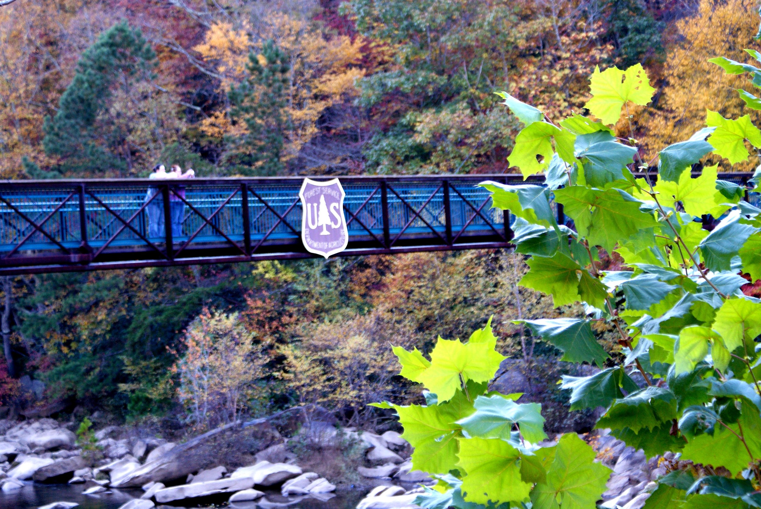
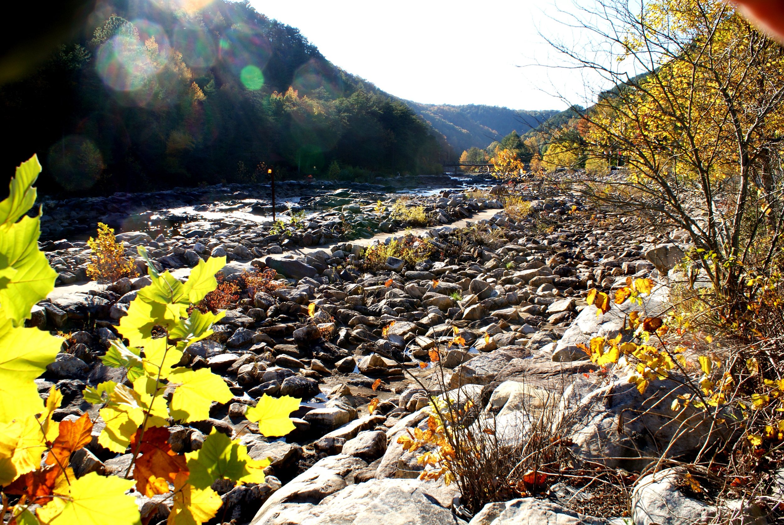
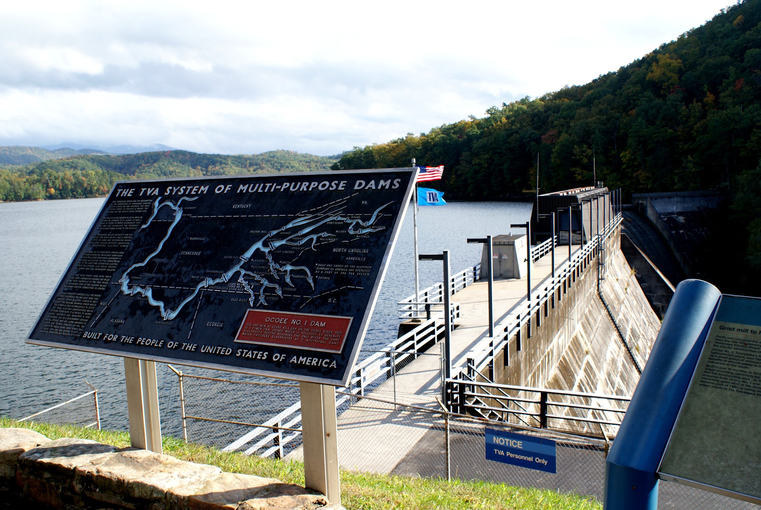
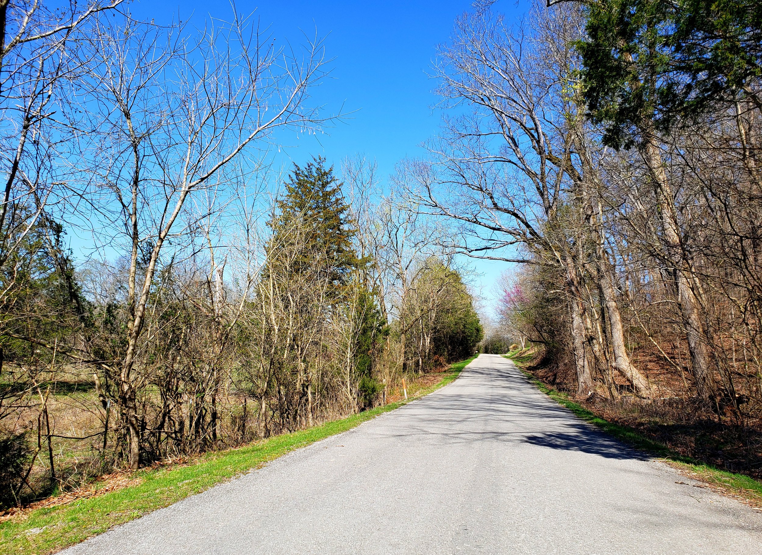
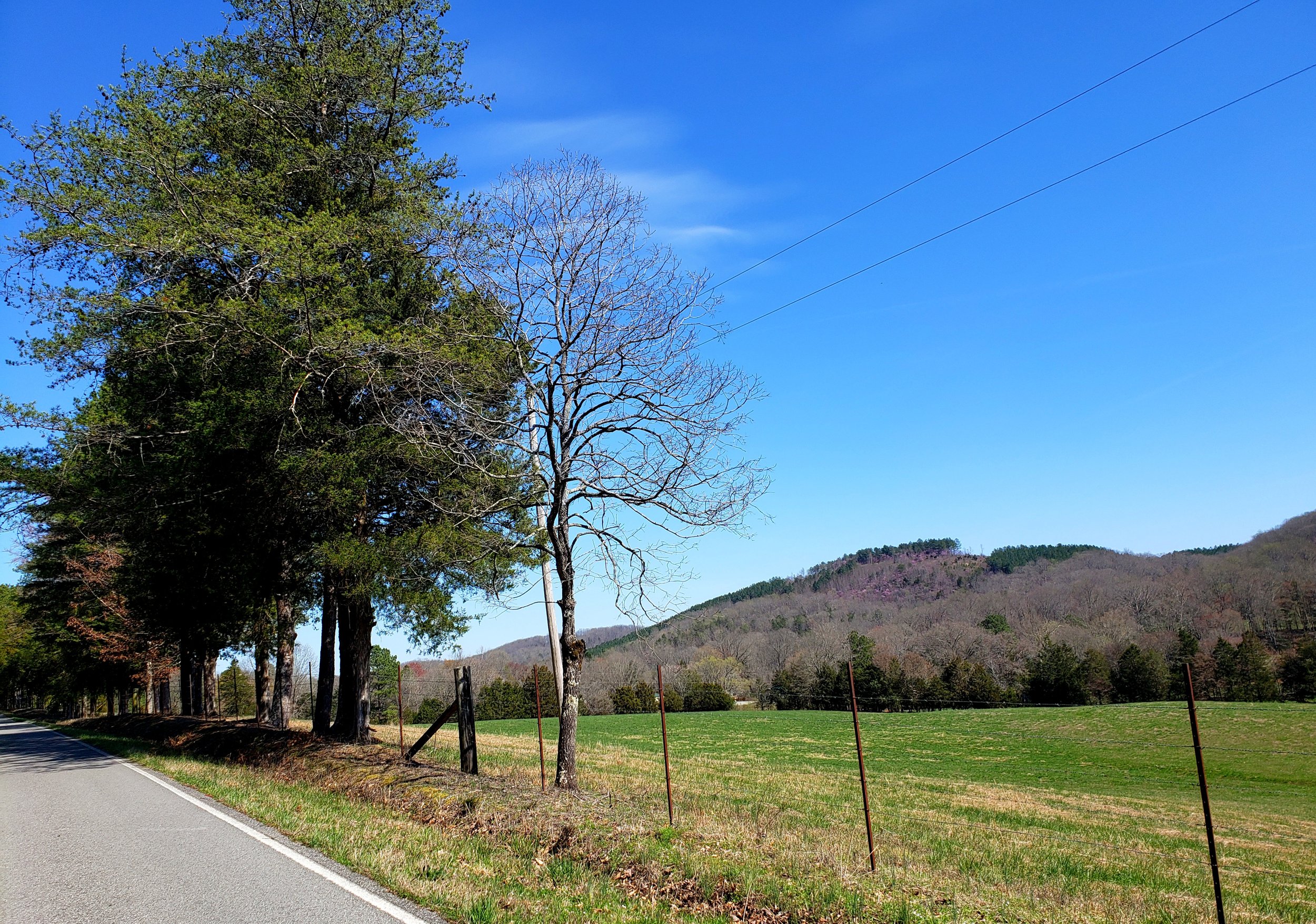
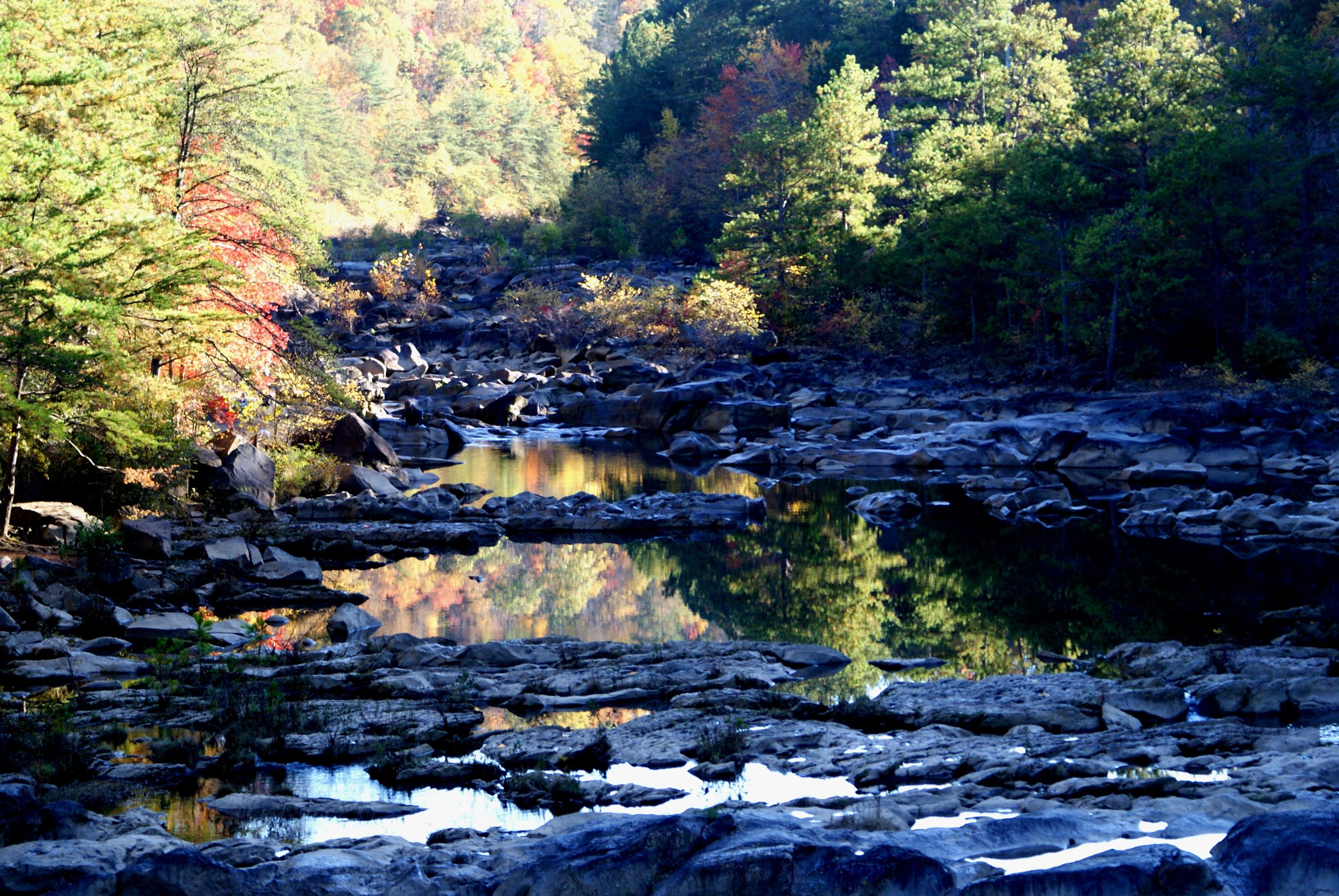
You will enjoy country riding, passing through numerous small towns, and following the winding Ocoee River – the site of the 1996 Summer Olympics Whitewater events. The time it takes to complete this route depends on your appetite for stopping along the way. Read ahead to prepare for whatever activities you might enjoy – shopping, swimming, picnicking, or small-town wandering!
LOOP TYPE: Longer route with curvy roads
DURATION: 5 hours / 170 miles
ZONE: Northeast (see aerial route view)
OCOEE LOOP
Download a description, directions, and maps.
Download a 11x17 topographical map.
Access turn-by-turn and voice guided GPS app.
General route guidance tools and tips.
Access routes via the app.
Already a member?
If you already downloaded the app and submitted your membership request, access routes under Clubs then Scenic City Backroads.
Not a member yet?
Login to the app and look for Scenic City Backroads under Clubs. If you don’t see it, you are not a member yet.