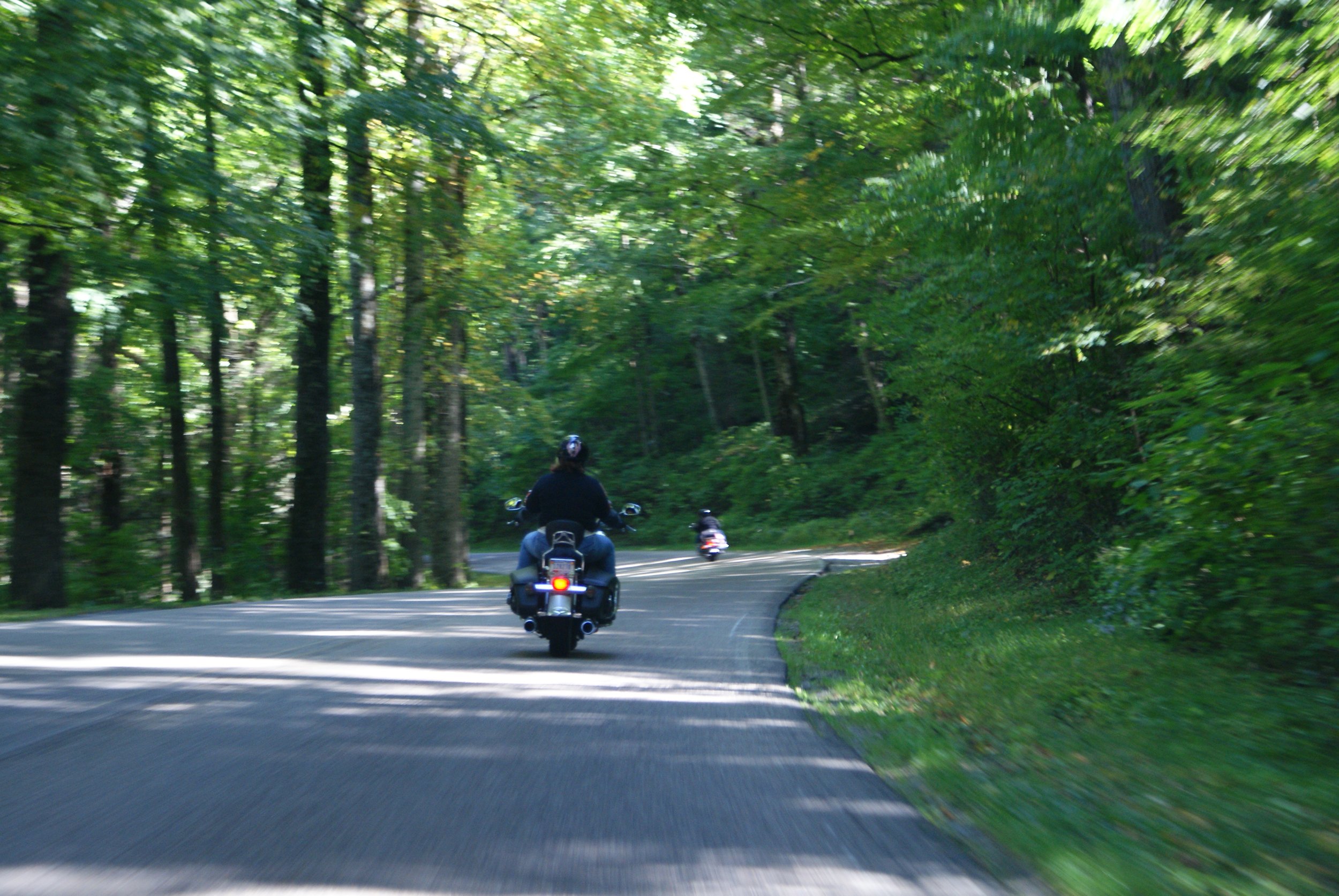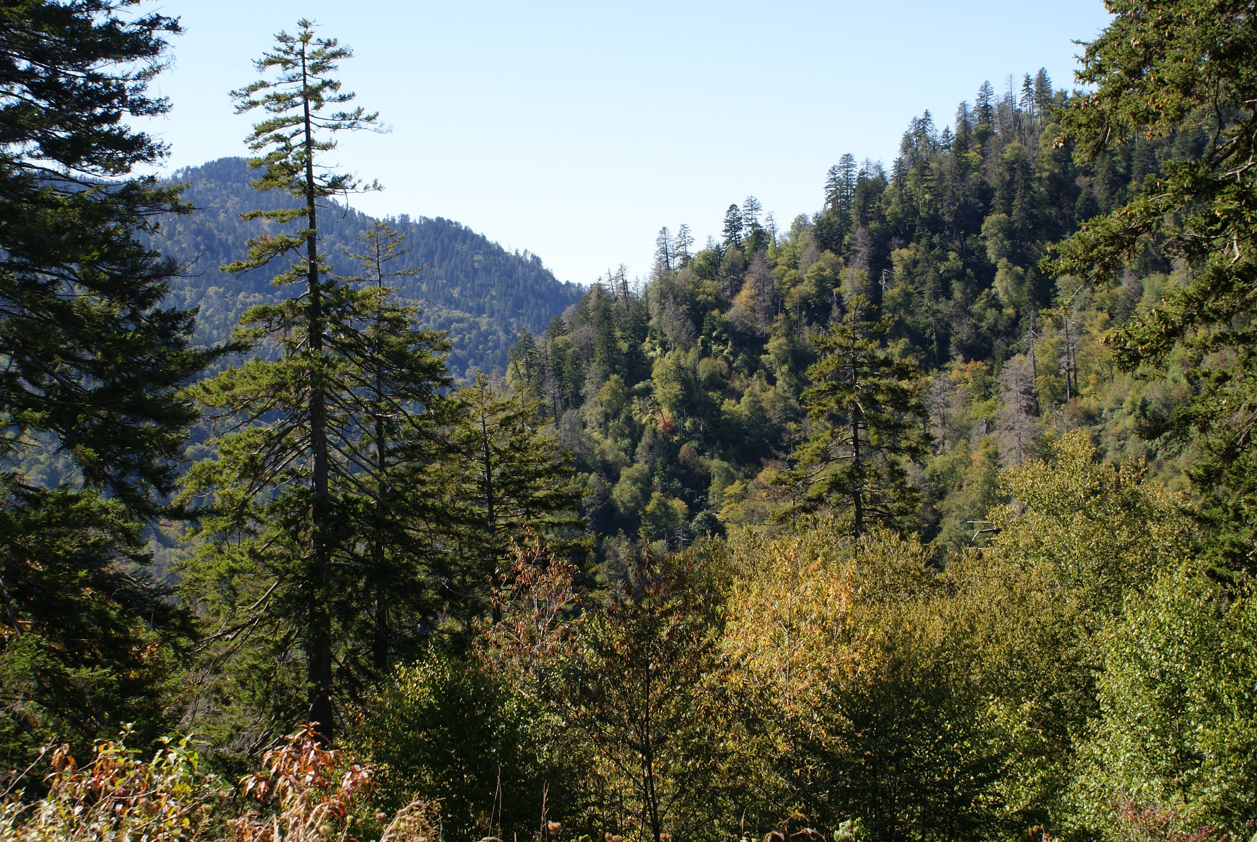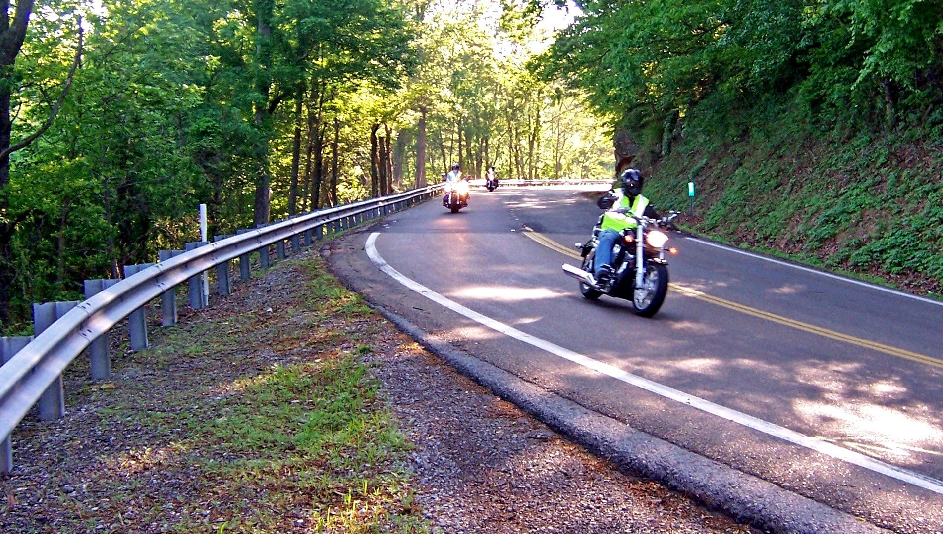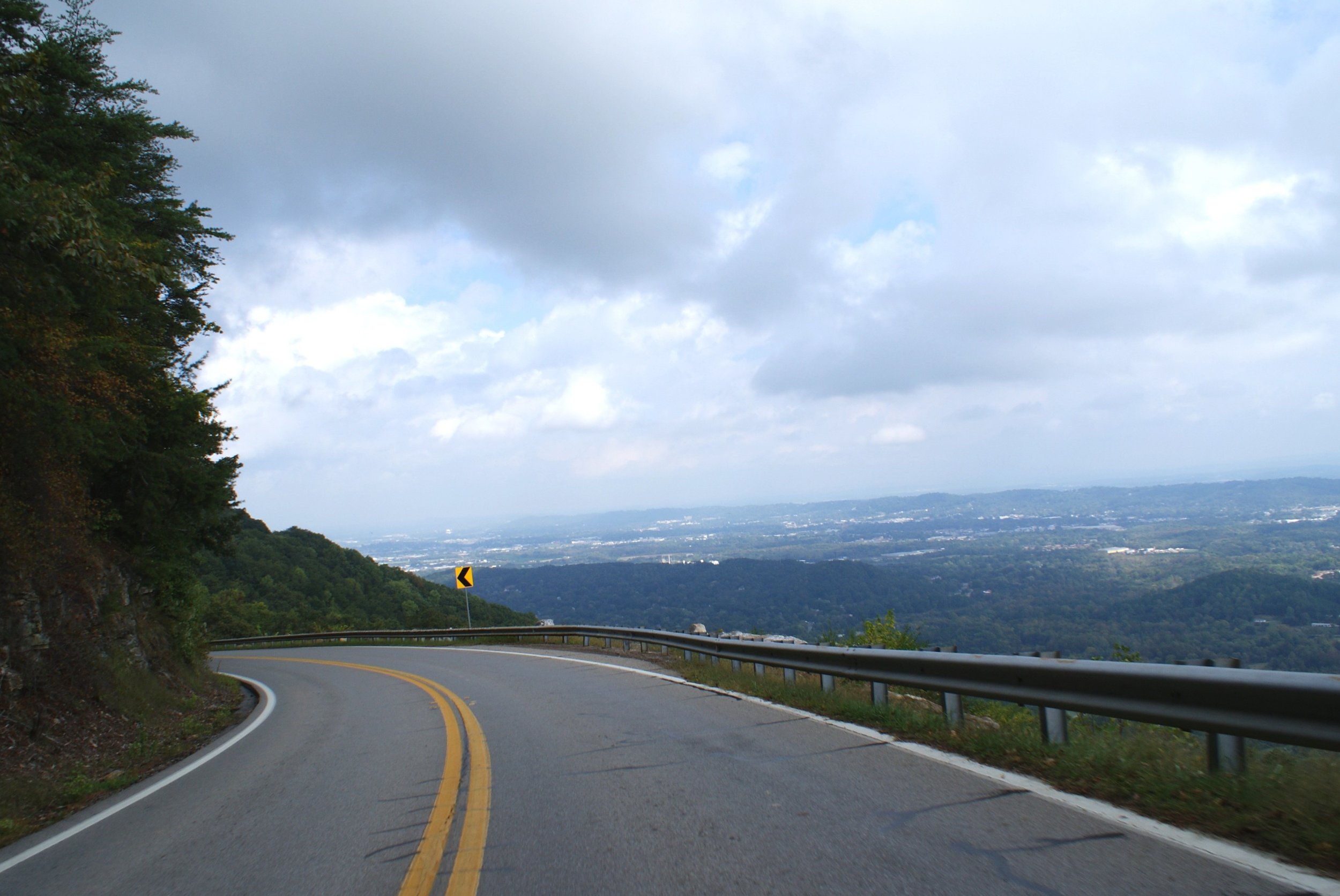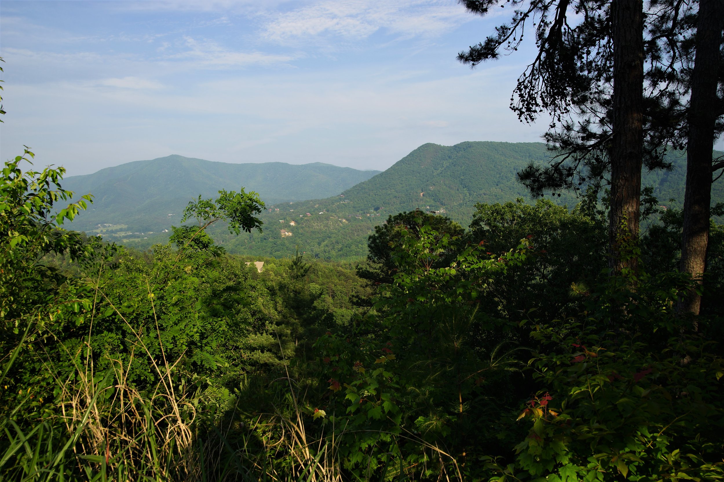
MOUNTAINS
This loop crosses three mountains, with a few places of sharp curves, and passes through some small backcountry towns. One section runs right next to the Tennessee River on a narrow two-lane country road. You will ride on mountain tops for a while and in the valleys for the rest of the time.
LOOP TYPE: Good state highways and one narrow, rougher river road
DURATION: 5 hours / 195 miles
ZONE: Northeast (see route aerial view)
GUNTERSVILLE LOOP
Download a description, directions, and maps.
Download a 11x17 topographical map.
Access turn-by-turn and voice guided GPS app.
General route guidance tools and tips.
Access routes via the app.
Already a member?
If you already downloaded the app and submitted your membership request, access routes under Clubs then Scenic City Backroads.
Not a member yet?
Login to the app and look for Scenic City Backroads under Clubs. If you don’t see it, you are not a member yet.