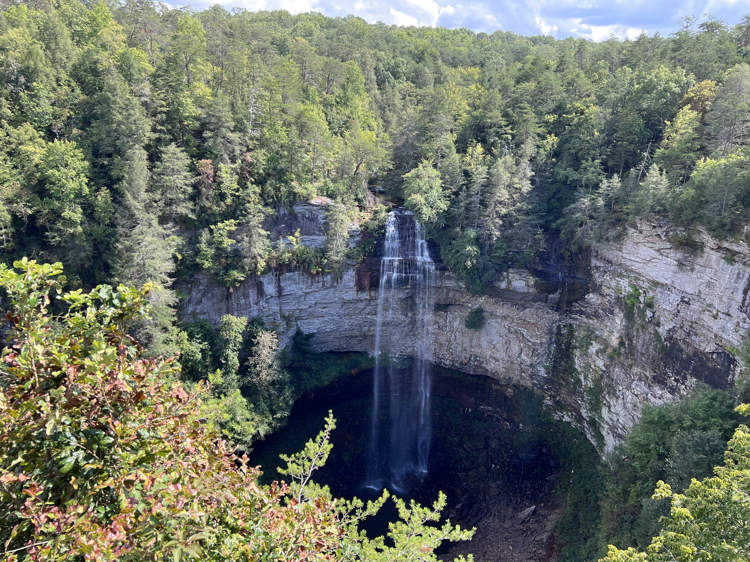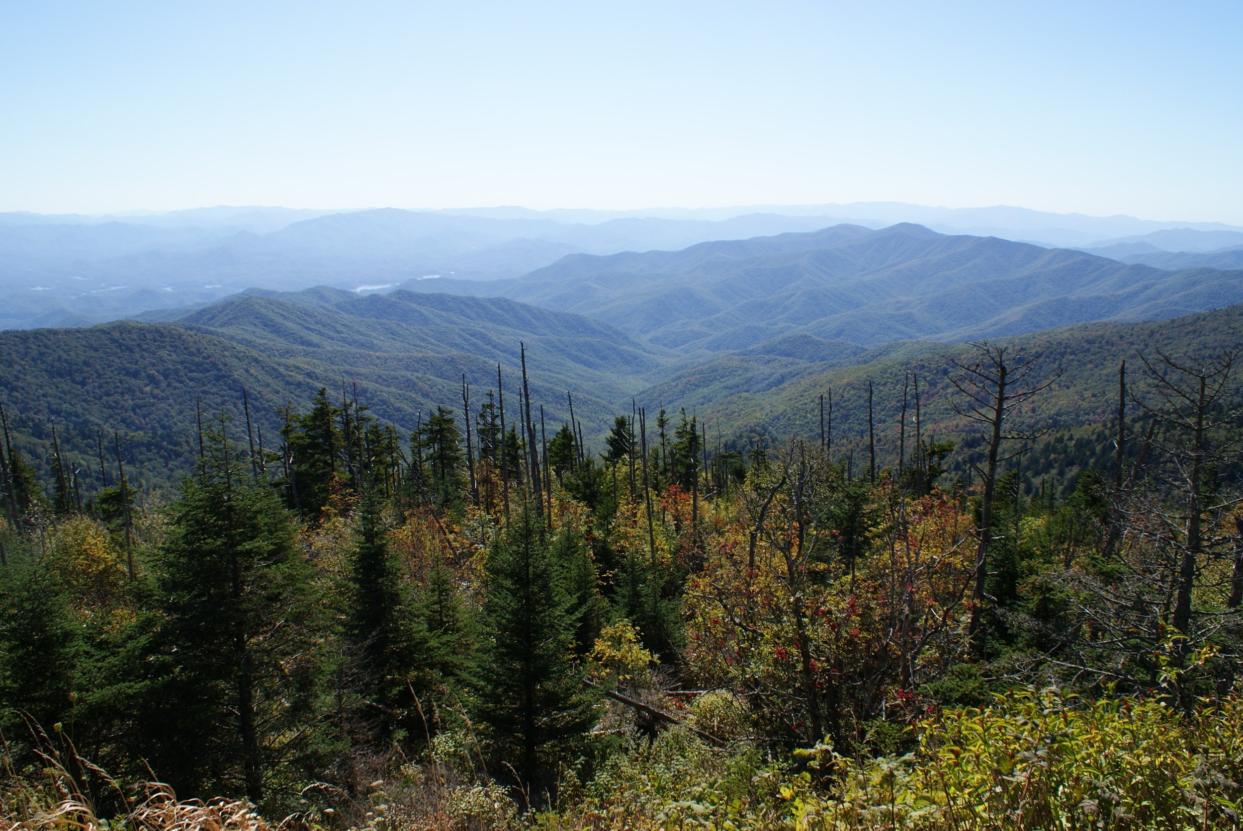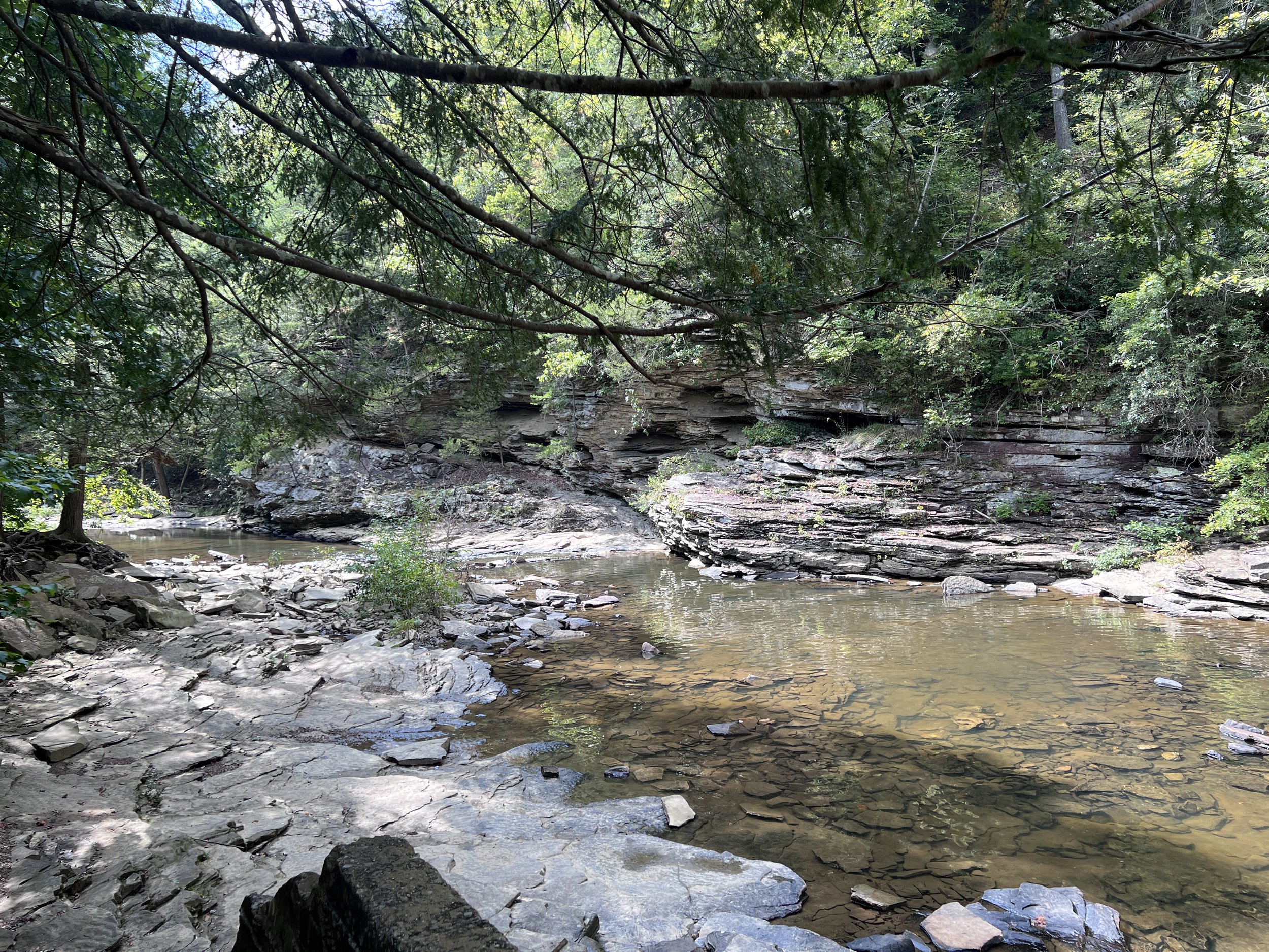
MOUNTAINS - CURVES
This loop is one of the more relaxing of the series. You will cross two mountains, drive through some small towns, parallel a river, and cruise through a scenic valley. This loop features some very sharp switchbacks in one short section, so if you do not enjoy these, another route might be better. A Tennessee State Park is the halfway point, where you can hike, sight see, or enjoy a nice meal at the lodge.
LOOP TYPE: Two-lane country roads & state highways
DURATION: 4.5 hours / 164 miles
ZONE: Northwest (see route aerial view)
FALL CREEK FALLS LOOP
Download a description, directions, and maps.
Download a 11x17 topographical map.
Access turn-by-turn and voice guided GPS app.
General route guidance tools and tips.
Access routes via the app.
Already a member?
If you already downloaded the app and submitted your membership request, access routes under Clubs then Scenic City Backroads.
Not a member yet?
Login to the app and look for Scenic City Backroads under Clubs. If you don’t see it, you are not a member yet.