The Routes
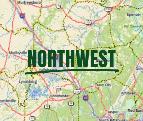
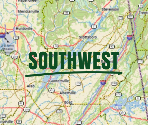
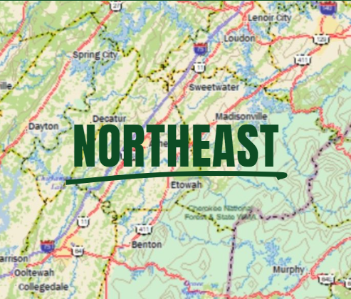
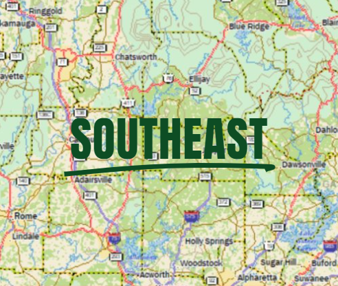
The routes are divided into four zones so you can experience the variety of what the surrounding backroads have to offer.

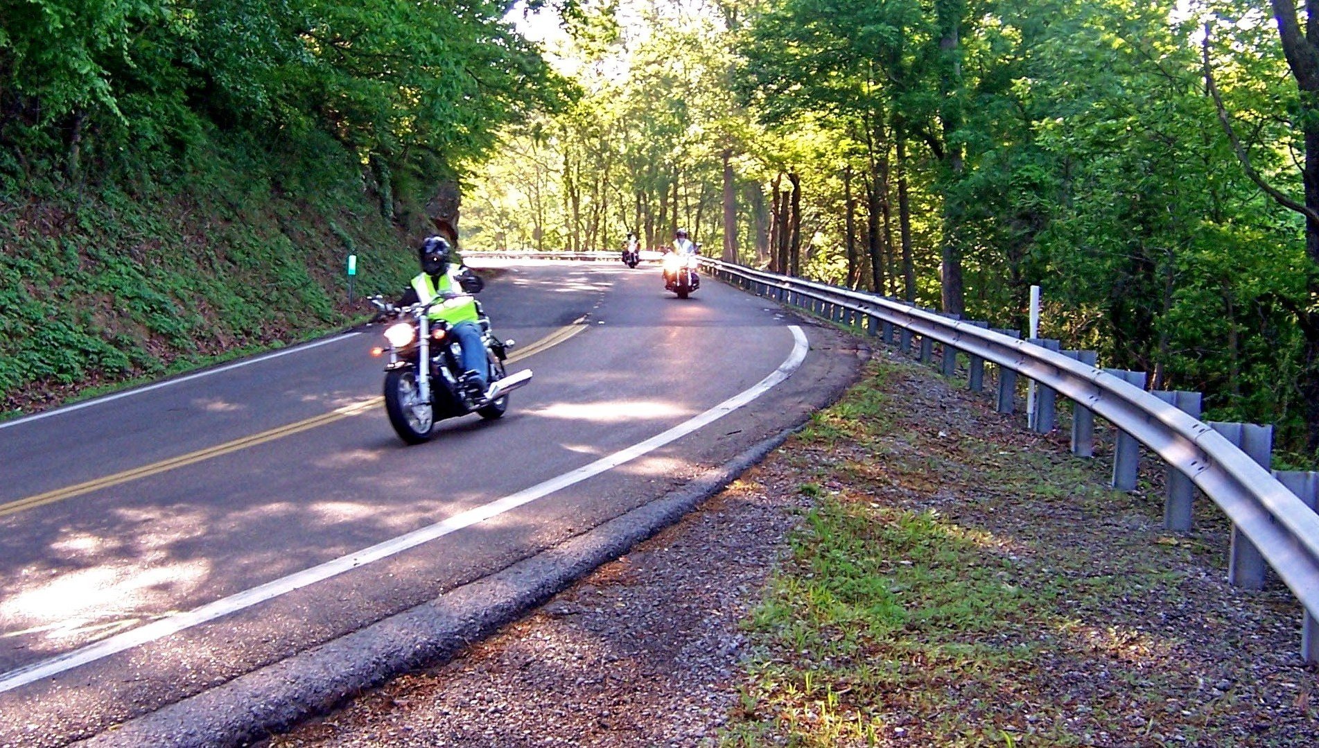
There are routes for everyone: mountains, curvy roads, relaxing two-lane roads, primitive mountain climbs. Each route description will tell you what to expect so that you can choose!
Travel time varies depending on how slow you drive, and how many stops you plan to take.
Click the maps to view routes in each region.
Find the route that fits you.
Click below to access individual route pages

FAQs
-
Please prepare ahead by reading through the route description. These routes take you on country roads, so pay attention to directions and maps or the app. It is highly recommended you have a person riding with you to help navigate on most of routes.
I highly recommend researching your potential routes to find places you would like to stop for a visit or have a meal. With the large number of good restaurants in Chattanooga I also recommend saving your dinner meal for Chattanooga.
-
Each individual route page will offer downloadable route resources including route description, turn by turn GPS instructions, and maps. You can also access the routes via the Club Account through Ride with GPS.
-
Yes! Under each route’s page there is an option to download smaller maps as well as a 11x17” map.
-
Download the Ride with GPS app from your phone’s app store. There is no Scenic City Backroads app - you will access the routes via the Ride with GPS app.
You will need to request free membership to the Ride with GPS Club Account to access the rides via the app.
Use this link for more information and to join.
GENERAL TIPS
For general tools and tips click here.
THE APP
To access routes via an app, visit your phone’s app store and look for Ride with GPS.
Scenic City Backroads does not have its own app but shares routes via clubs on Ride with GPS.
For directions on how to use the app, click here.
