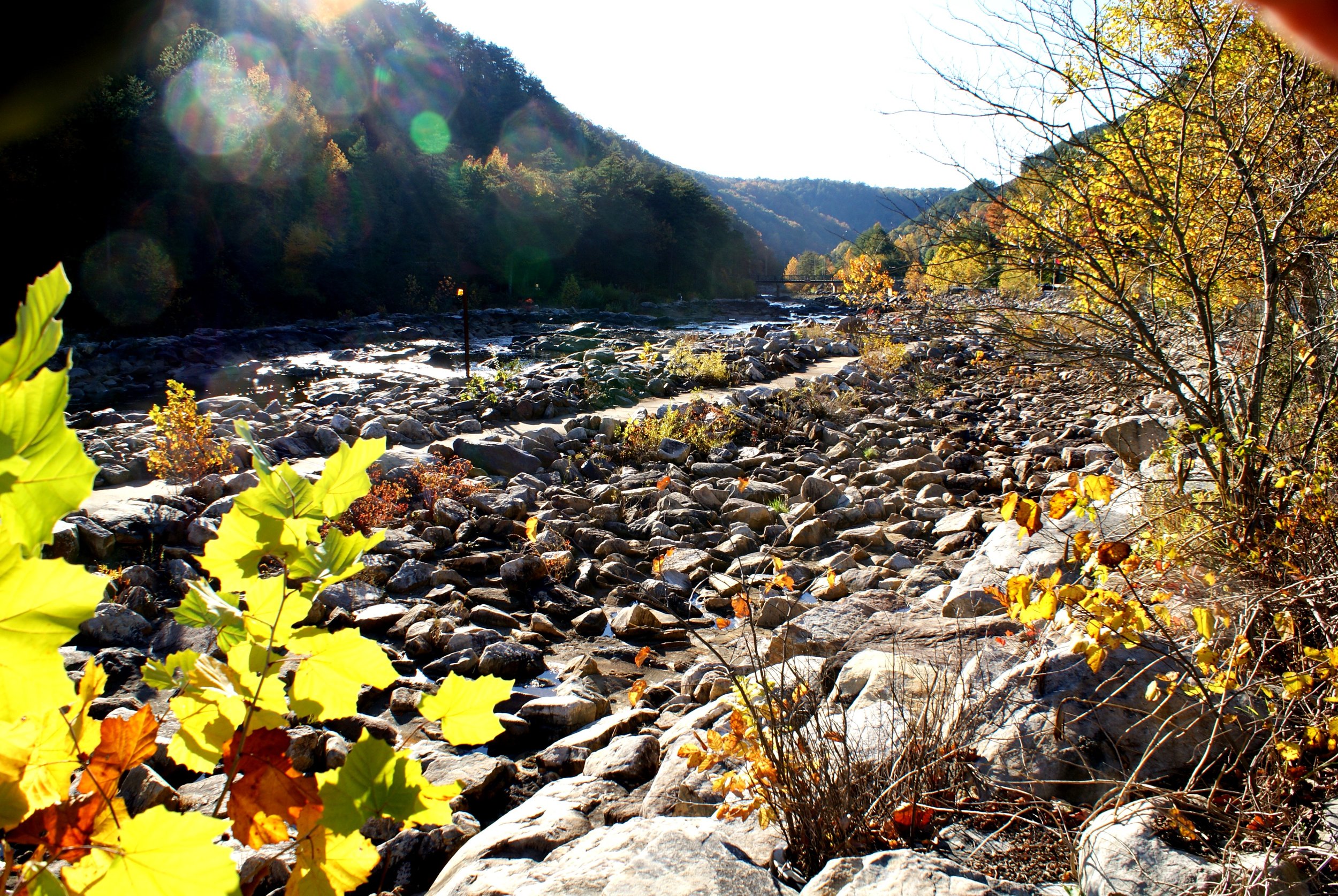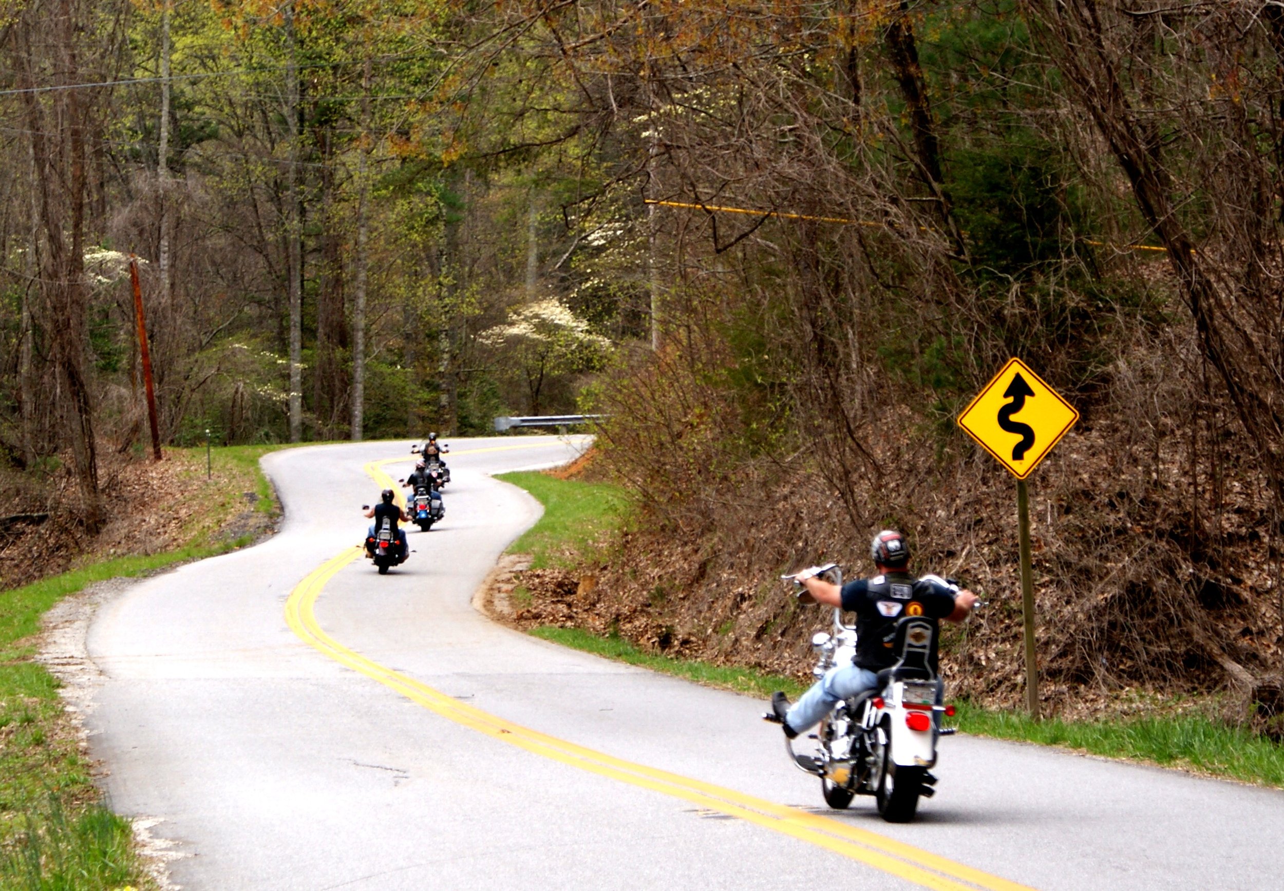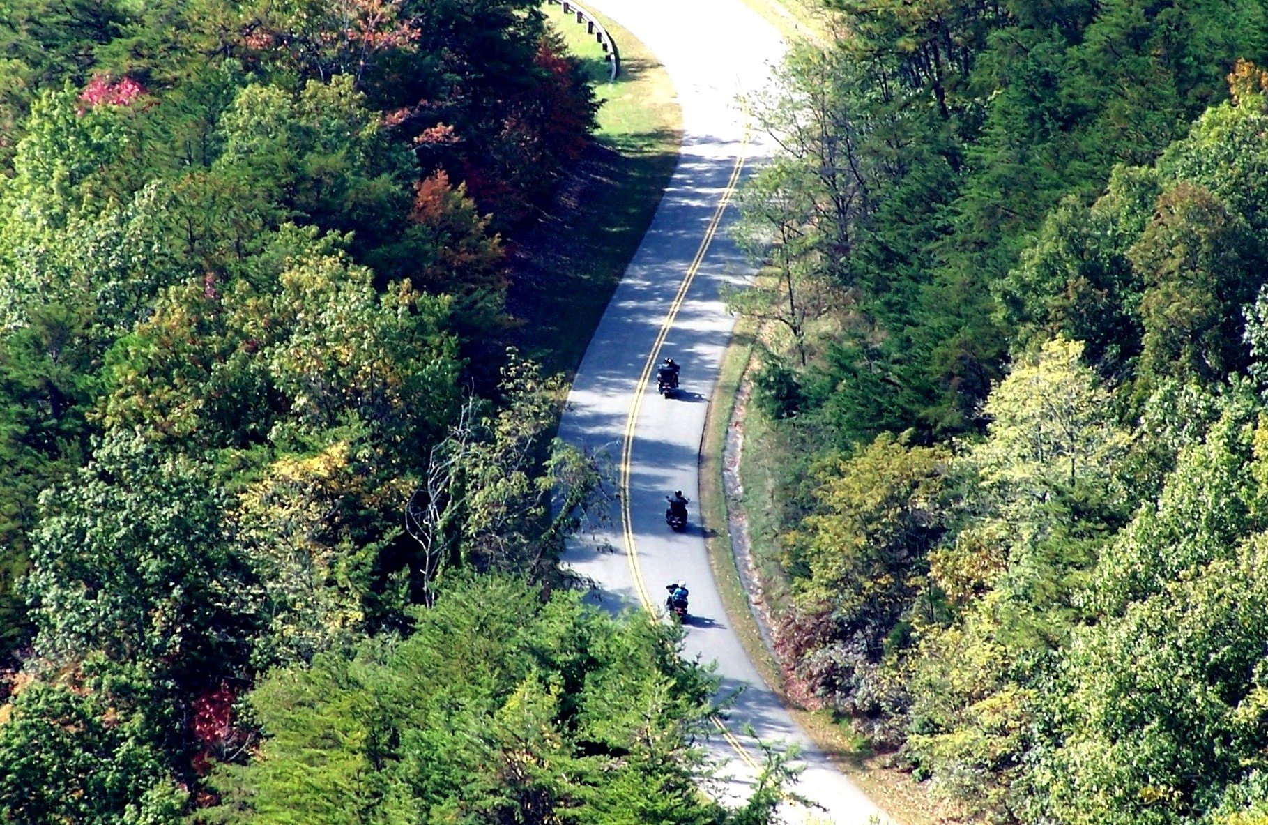
REMOTE - CURVES
This scenic loop will primarily be on little traveled country roads, some with rougher pavement than the state highway sections. This would be a good choice for people who want to be out in the more remote country, as opposed to the city country. There are also some sections of state highways that are very curvy but have good pavement. This route will take you by the location of the whitewater events of the 1996 Atlanta Summer Olympics. There is some riding at higher elevations but not any mountain top riding.
LOOP TYPE: Narrow country roads and state highways
DURATION: 6 hours / 197 miles
ZONE: Northeast (see aerial route view)
TELLICO PLAINS LOOP
Download a description, directions, and maps.
Download a 11x17 topographical map.
Access turn-by-turn and voice guided GPS app.
General route guidance tools and tips.
Access routes via the app.
Already a member?
If you already downloaded the app and submitted your membership request, access routes under Clubs then Scenic City Backroads.
Not a member yet?
Login to the app and look for Scenic City Backroads under Clubs. If you don’t see it, you are not a member yet.